Readings Newsletter
Become a Readings Member to make your shopping experience even easier.
Sign in or sign up for free!
You’re not far away from qualifying for FREE standard shipping within Australia
You’ve qualified for FREE standard shipping within Australia
The cart is loading…


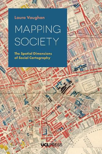
From a rare map of yellow fever in eighteenth-century New York to Charles Booth’s famous maps of poverty in nineteenth-century London, an Italian racial zoning map of early twentieth-century Asmara, and a map of wealth disparities in the banlieues of twenty-first-century Paris, Mapping Society traces the evolution of social cartography over the past two centuries. In this richly illustrated book, Laura Vaughan examines maps of ethnic or religious difference, poverty, and health inequalities, demonstrating how they not only serve as historical records of social enquiry but also constitute inscriptions of social patterns that have been etched deeply on the surface of cities. The book covers themes such as the use of visual rhetoric to change public opinion, the evolution of sociology as an academic practice, changing attitudes to physical disorder, and the complexity of segregation as an urban phenomenon. While the focus is on historical maps, the narrative carries the discussion of the spatial dimensions of social cartography forward to the present day, showing how disciplines such as public health, criminology, and urban planning chart spatial data in their current practice.
$9.00 standard shipping within Australia
FREE standard shipping within Australia for orders over $100.00
Express & International shipping calculated at checkout
From a rare map of yellow fever in eighteenth-century New York to Charles Booth’s famous maps of poverty in nineteenth-century London, an Italian racial zoning map of early twentieth-century Asmara, and a map of wealth disparities in the banlieues of twenty-first-century Paris, Mapping Society traces the evolution of social cartography over the past two centuries. In this richly illustrated book, Laura Vaughan examines maps of ethnic or religious difference, poverty, and health inequalities, demonstrating how they not only serve as historical records of social enquiry but also constitute inscriptions of social patterns that have been etched deeply on the surface of cities. The book covers themes such as the use of visual rhetoric to change public opinion, the evolution of sociology as an academic practice, changing attitudes to physical disorder, and the complexity of segregation as an urban phenomenon. While the focus is on historical maps, the narrative carries the discussion of the spatial dimensions of social cartography forward to the present day, showing how disciplines such as public health, criminology, and urban planning chart spatial data in their current practice.
Search our extensive online catalogue.
