Readings Newsletter
Become a Readings Member to make your shopping experience even easier.
Sign in or sign up for free!
You’re not far away from qualifying for FREE standard shipping within Australia
You’ve qualified for FREE standard shipping within Australia
The cart is loading…


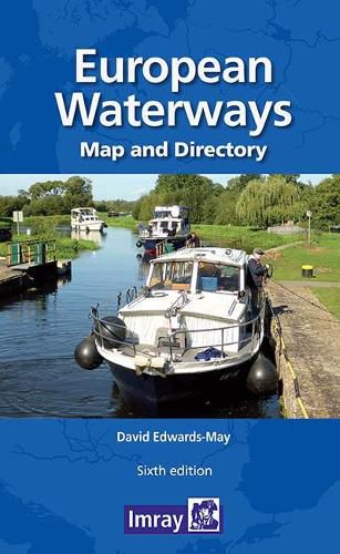
Double -sided. Side one- Europe from Ireland and Portugal to the Caspian Sea - dimensions 1210 x 870 mm. Scale 1:4 000 000- enlargement on reverse, with unprecedented detail, covering Dublin to Bratislava on the Danube scale 1:1 500 000. Includes a brief description of waterways in each country, followed by addresses of waterway authorities, boating associations etc.
The directory describes the waterway network country by country and provides a mass of information of value to all those who are interested in inland navigation as a mode of transport, but also, for a growing number of enthusiasts - a way of life. The two maps (front and back of the sheet) cover the same areas as the previous edition: from Ireland and Portugal to the Caspian Sea and, on the other side, a significantly enhanced map covering the denser part of the network, from Dublin to Bratislava on the Danube. The booklet accompanying the map includes many colour photos and larger-scale maps of particular areas.
The map has a legend in English, French, German and Dutch (booklet in English only)
$9.00 standard shipping within Australia
FREE standard shipping within Australia for orders over $100.00
Express & International shipping calculated at checkout
Double -sided. Side one- Europe from Ireland and Portugal to the Caspian Sea - dimensions 1210 x 870 mm. Scale 1:4 000 000- enlargement on reverse, with unprecedented detail, covering Dublin to Bratislava on the Danube scale 1:1 500 000. Includes a brief description of waterways in each country, followed by addresses of waterway authorities, boating associations etc.
The directory describes the waterway network country by country and provides a mass of information of value to all those who are interested in inland navigation as a mode of transport, but also, for a growing number of enthusiasts - a way of life. The two maps (front and back of the sheet) cover the same areas as the previous edition: from Ireland and Portugal to the Caspian Sea and, on the other side, a significantly enhanced map covering the denser part of the network, from Dublin to Bratislava on the Danube. The booklet accompanying the map includes many colour photos and larger-scale maps of particular areas.
The map has a legend in English, French, German and Dutch (booklet in English only)
Search our extensive online catalogue.
