Readings Newsletter
Become a Readings Member to make your shopping experience even easier.
Sign in or sign up for free!
You’re not far away from qualifying for FREE standard shipping within Australia
You’ve qualified for FREE standard shipping within Australia
The cart is loading…


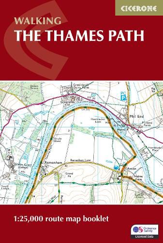
A booklet of all the mapping needed to complete the Thames Path National Trail between the Woolwich Foot Tunnel in east London and the river's source in Gloucestershire. This straightforward trail covers 292km (182 miles) and can be walked in around 2 weeks.
GPX files available to download The full route line is shown on 1:25,000 OS maps The map booklet can be used to walk the trail in either direction Sized to easily fit in a jacket pocket The relevant extract from the OS Explorer map legend is included Route extension from Erith in Kent to Woolwich Foot Tunnel is also provided An accompanying Cicerone guidebook - Walking the Thames Path - is also available, which includes a copy of this map booklet
$9.00 standard shipping within Australia
FREE standard shipping within Australia for orders over $100.00
Express & International shipping calculated at checkout
A booklet of all the mapping needed to complete the Thames Path National Trail between the Woolwich Foot Tunnel in east London and the river's source in Gloucestershire. This straightforward trail covers 292km (182 miles) and can be walked in around 2 weeks.
GPX files available to download The full route line is shown on 1:25,000 OS maps The map booklet can be used to walk the trail in either direction Sized to easily fit in a jacket pocket The relevant extract from the OS Explorer map legend is included Route extension from Erith in Kent to Woolwich Foot Tunnel is also provided An accompanying Cicerone guidebook - Walking the Thames Path - is also available, which includes a copy of this map booklet
Search our extensive online catalogue.
