Readings Newsletter
Become a Readings Member to make your shopping experience even easier.
Sign in or sign up for free!
You’re not far away from qualifying for FREE standard shipping within Australia
You’ve qualified for FREE standard shipping within Australia
The cart is loading…


This title is printed to order. This book may have been self-published. If so, we cannot guarantee the quality of the content. In the main most books will have gone through the editing process however some may not. We therefore suggest that you be aware of this before ordering this book. If in doubt check either the author or publisher’s details as we are unable to accept any returns unless they are faulty. Please contact us if you have any questions.
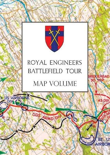
Extracted from the important two volume BAOR Battlefield Guide, these exceptional detailed colour printed maps start with operations in France and Flanders in1940, and then go on to look at operations after D-Day in Belgium, and the advance of 30 Corps to the Nederrijn, 1 Airborne Division at Arnhem, airfield construction in the Eindhoven area, the battle of the Rhineland between the Maas and the Rhine in February 1945, and conclude with the Rhine crossing.
One of the best sources of primary WW2 cartography for the Battlefield Tourist, Military Historian, Wargamers and all with an interest in this period of the Second World War.
Battlefield Guides were produced by Headquarters, British Army of the Rhine (BAOR) in 1946/47. They were designed to capitalise on the expertise still available in an attempt to help the army learn the lessons of various operations during the North West Europe Campaign fought between June 1944 and March 1945.
$9.00 standard shipping within Australia
FREE standard shipping within Australia for orders over $100.00
Express & International shipping calculated at checkout
This title is printed to order. This book may have been self-published. If so, we cannot guarantee the quality of the content. In the main most books will have gone through the editing process however some may not. We therefore suggest that you be aware of this before ordering this book. If in doubt check either the author or publisher’s details as we are unable to accept any returns unless they are faulty. Please contact us if you have any questions.
Extracted from the important two volume BAOR Battlefield Guide, these exceptional detailed colour printed maps start with operations in France and Flanders in1940, and then go on to look at operations after D-Day in Belgium, and the advance of 30 Corps to the Nederrijn, 1 Airborne Division at Arnhem, airfield construction in the Eindhoven area, the battle of the Rhineland between the Maas and the Rhine in February 1945, and conclude with the Rhine crossing.
One of the best sources of primary WW2 cartography for the Battlefield Tourist, Military Historian, Wargamers and all with an interest in this period of the Second World War.
Battlefield Guides were produced by Headquarters, British Army of the Rhine (BAOR) in 1946/47. They were designed to capitalise on the expertise still available in an attempt to help the army learn the lessons of various operations during the North West Europe Campaign fought between June 1944 and March 1945.
Search our extensive online catalogue.
