Readings Newsletter
Become a Readings Member to make your shopping experience even easier.
Sign in or sign up for free!
You’re not far away from qualifying for FREE standard shipping within Australia
You’ve qualified for FREE standard shipping within Australia
The cart is loading…


This title is printed to order. This book may have been self-published. If so, we cannot guarantee the quality of the content. In the main most books will have gone through the editing process however some may not. We therefore suggest that you be aware of this before ordering this book. If in doubt check either the author or publisher’s details as we are unable to accept any returns unless they are faulty. Please contact us if you have any questions.
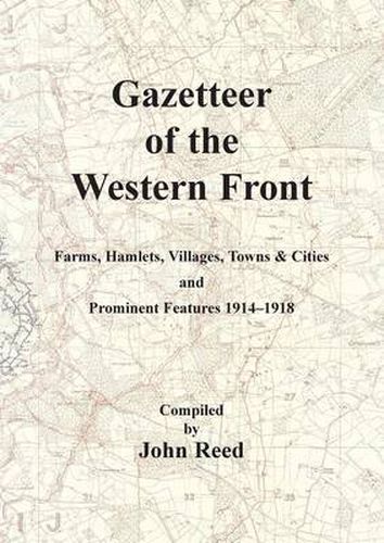
When Europe went to war in 1914 it was fully prepared for conflict; perhaps not so prepared for the conflict that the Great War turned into. Within months of the opening moves the war had become a stalemate; a huge siege stretching 450 miles from the Belgian coast to the Swiss Border. The shovel became as important as the rifle and battlefield intelligence gave armies the cutting edge in the fighting.Battlefield intelligence was based around military mapping. When Britain entered the conflict the maps its officers used was based on local Belgian or French editions. These maps quickly proved unreliable and in 1915 the Royal Engineers re-surveyed the entire British sector of the Western Front and by 1918 produced some of the most detailed and accurate maps of the war. For many years hidden away in archives, these Trench Maps are now widely available in digital form and are in many ways the key to unlocking the battlefield history of the Great War; these maps show us where both sides positions were, the locations of bunkers and artillery and the lie of the land.Locations on these maps were named; sometimes randomly (whole areas were named with words starting with a particular letter) but often following the names given by the soldiers who fought there. These names like Hyde Park Corner or Kitchen’s Wood evocated thoughts of home or famous soldiers, but how to find them today when they are mentioned in sources like Regimental Histories or War Diaries.This is where John Reed’s Gazetteer of the Western Front comes into its own. John has spent some considerable time painstakingly indexing the locations on the battlefield -farms, hamlets, villages, towns, physical features and battle sites- and here presents them in an easy format. For each site the wartime location is identified using contemporary map sheet data but more importantly the modern GPS location means that they can easily be found on the landscape today.
$9.00 standard shipping within Australia
FREE standard shipping within Australia for orders over $100.00
Express & International shipping calculated at checkout
This title is printed to order. This book may have been self-published. If so, we cannot guarantee the quality of the content. In the main most books will have gone through the editing process however some may not. We therefore suggest that you be aware of this before ordering this book. If in doubt check either the author or publisher’s details as we are unable to accept any returns unless they are faulty. Please contact us if you have any questions.
When Europe went to war in 1914 it was fully prepared for conflict; perhaps not so prepared for the conflict that the Great War turned into. Within months of the opening moves the war had become a stalemate; a huge siege stretching 450 miles from the Belgian coast to the Swiss Border. The shovel became as important as the rifle and battlefield intelligence gave armies the cutting edge in the fighting.Battlefield intelligence was based around military mapping. When Britain entered the conflict the maps its officers used was based on local Belgian or French editions. These maps quickly proved unreliable and in 1915 the Royal Engineers re-surveyed the entire British sector of the Western Front and by 1918 produced some of the most detailed and accurate maps of the war. For many years hidden away in archives, these Trench Maps are now widely available in digital form and are in many ways the key to unlocking the battlefield history of the Great War; these maps show us where both sides positions were, the locations of bunkers and artillery and the lie of the land.Locations on these maps were named; sometimes randomly (whole areas were named with words starting with a particular letter) but often following the names given by the soldiers who fought there. These names like Hyde Park Corner or Kitchen’s Wood evocated thoughts of home or famous soldiers, but how to find them today when they are mentioned in sources like Regimental Histories or War Diaries.This is where John Reed’s Gazetteer of the Western Front comes into its own. John has spent some considerable time painstakingly indexing the locations on the battlefield -farms, hamlets, villages, towns, physical features and battle sites- and here presents them in an easy format. For each site the wartime location is identified using contemporary map sheet data but more importantly the modern GPS location means that they can easily be found on the landscape today.