Readings Newsletter
Become a Readings Member to make your shopping experience even easier.
Sign in or sign up for free!
You’re not far away from qualifying for FREE standard shipping within Australia
You’ve qualified for FREE standard shipping within Australia
The cart is loading…


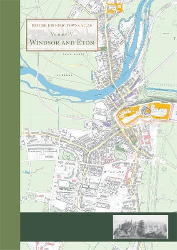
This atlas is the definitive account in maps and words of the historic royal towns of Windsor and Eton. There has never been an account of the history of Eton town, and although Windsor Castle has been much studied, the last historical account of the town of Windsor was published as long ago as 1858.
The atlas contains high-quality and original maps of the two towns at key periods between the twelfth and nineteenth centuries. At the heart of the atlas lies a detailed and minutely researched map showing all the major medieval and post-medieval features in the context of a large-scale map of the towns around 1870, using Ordnance Survey maps as a source. The substantial introduction to the history of these distinctive towns charts their development over eight centuries. The atlas is presented as a large-format, high-quality A3 folder, with maps and illustrations printed at A2, allowing clear detail to be seen.
All the buildings, historic sites and streets named on the maps are comprehensively documented in a detailed gazetteer, covering the history of the sites and the many sources used in compiling the maps. The value of the atlas is enhanced by the inclusion of numerous colour illustrations, including early maps and views of the towns, many of them previously unknown.
For the first time, new research by historians, archaeologists and cartographers has been brought together to compile this unique and original portfolio.
$9.00 standard shipping within Australia
FREE standard shipping within Australia for orders over $100.00
Express & International shipping calculated at checkout
This atlas is the definitive account in maps and words of the historic royal towns of Windsor and Eton. There has never been an account of the history of Eton town, and although Windsor Castle has been much studied, the last historical account of the town of Windsor was published as long ago as 1858.
The atlas contains high-quality and original maps of the two towns at key periods between the twelfth and nineteenth centuries. At the heart of the atlas lies a detailed and minutely researched map showing all the major medieval and post-medieval features in the context of a large-scale map of the towns around 1870, using Ordnance Survey maps as a source. The substantial introduction to the history of these distinctive towns charts their development over eight centuries. The atlas is presented as a large-format, high-quality A3 folder, with maps and illustrations printed at A2, allowing clear detail to be seen.
All the buildings, historic sites and streets named on the maps are comprehensively documented in a detailed gazetteer, covering the history of the sites and the many sources used in compiling the maps. The value of the atlas is enhanced by the inclusion of numerous colour illustrations, including early maps and views of the towns, many of them previously unknown.
For the first time, new research by historians, archaeologists and cartographers has been brought together to compile this unique and original portfolio.
Search our extensive online catalogue.
