Readings Newsletter
Become a Readings Member to make your shopping experience even easier.
Sign in or sign up for free!
You’re not far away from qualifying for FREE standard shipping within Australia
You’ve qualified for FREE standard shipping within Australia
The cart is loading…


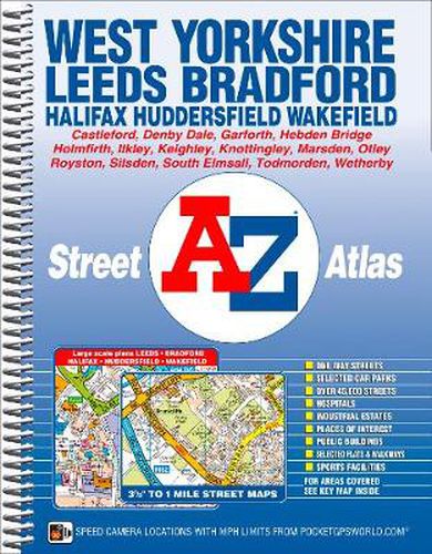
This A-Z map of West Yorkshire is a full colour, spiral bound street atlas featuring 172 pages of continuous mapping covering: *Leeds *Bradford *Halifax *Huddersfield *Wakefield *Dewsbury *Castleford *Ilkley *Wetherby *Knottingley *Holmfirth *Todmorton *Hebden Bridge
There are large scale city and town centre maps of Leeds, Bradford, Halifax, Huddersfield and Wakefield.
Postcode districts, one-way streets, safety camera locations with their maximum speed limit are featured on the mapping.
The index section lists streets, selected flats, walkways and places of interest, place, area and station names. There is a separate list of hospitals, hospices and NHS Walk-in Centres covered by this atlas.
$9.00 standard shipping within Australia
FREE standard shipping within Australia for orders over $100.00
Express & International shipping calculated at checkout
This A-Z map of West Yorkshire is a full colour, spiral bound street atlas featuring 172 pages of continuous mapping covering: *Leeds *Bradford *Halifax *Huddersfield *Wakefield *Dewsbury *Castleford *Ilkley *Wetherby *Knottingley *Holmfirth *Todmorton *Hebden Bridge
There are large scale city and town centre maps of Leeds, Bradford, Halifax, Huddersfield and Wakefield.
Postcode districts, one-way streets, safety camera locations with their maximum speed limit are featured on the mapping.
The index section lists streets, selected flats, walkways and places of interest, place, area and station names. There is a separate list of hospitals, hospices and NHS Walk-in Centres covered by this atlas.
Search our extensive online catalogue.
