Readings Newsletter
Become a Readings Member to make your shopping experience even easier.
Sign in or sign up for free!
You’re not far away from qualifying for FREE standard shipping within Australia
You’ve qualified for FREE standard shipping within Australia
The cart is loading…


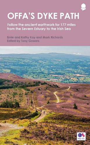
Offas Dyke Path (Gogledd Llwybr Clawdd Offa) is the 177-mile National Trail following the ancient earthwork that criss-crosses the border country of modern England and Wales, from the Severn Estuary to the seaside resort of Prestatyn on the Irish Sea. This is the complete, official guide for the long-distance walker or the weekend stroller. All you need is this one book. It contains:
the route split into convenient sections
Ordnance Survery mapping for the entire route
comprehensive, up-to-date information on public transport, accommodation and places of interest
background information on everything from archaeology to wildlife
lavishly illustrated with colour photography throughout
$9.00 standard shipping within Australia
FREE standard shipping within Australia for orders over $100.00
Express & International shipping calculated at checkout
Offas Dyke Path (Gogledd Llwybr Clawdd Offa) is the 177-mile National Trail following the ancient earthwork that criss-crosses the border country of modern England and Wales, from the Severn Estuary to the seaside resort of Prestatyn on the Irish Sea. This is the complete, official guide for the long-distance walker or the weekend stroller. All you need is this one book. It contains:
the route split into convenient sections
Ordnance Survery mapping for the entire route
comprehensive, up-to-date information on public transport, accommodation and places of interest
background information on everything from archaeology to wildlife
lavishly illustrated with colour photography throughout
Search our extensive online catalogue.
