Readings Newsletter
Become a Readings Member to make your shopping experience even easier.
Sign in or sign up for free!
You’re not far away from qualifying for FREE standard shipping within Australia
You’ve qualified for FREE standard shipping within Australia
The cart is loading…


Shortlisted for a 2014 BC Book Prize Shortlisted for the 2014 City of Victoria Butler Book Prize Silver medalist for the 2013 BC Historical Federation’s Lieutenant Governor’s prizes for historical writing
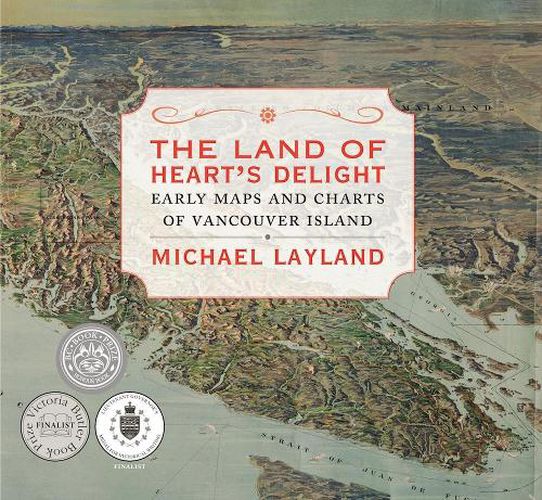
Just how, and why, did Vancouver Island get onto the map? How was knowledge of our immediate geography acquired and recorded? With 130 maps, dating between 1593 and 1915, this cartographic history tells the story of how Vancouver Island and the surrounding area came to be mapped. The book shows local cartographic milestones, marking progress in our knowledge through the island’s rich-although comparatively short-recorded history. However, the maps, by themselves and without context, cannot tell the whole story. The accompanying text reveals the motives, constraints, agendas, and intrigues that underpin their making. The narrative, roughly chronological, begins before the arrival of Europeans and concludes at the outset of the First World War and includes an introduction on the history and significance of map-making, as well as an afterword summarizing subsequent cartographic developments. Also included are an index, endnotes, a list of cartographic sources, and a glossary. Now in its second printing, The Land of Heart’s Delight was short-listed for the Bill Duthie Booksellers’ Choice award in the BC Book Prizes, and for the Victoria Butler Book Prize. It also placed second in the BC Historical Federation’s Lieutenant Governor’s prizes for historical writing.
$9.00 standard shipping within Australia
FREE standard shipping within Australia for orders over $100.00
Express & International shipping calculated at checkout
Shortlisted for a 2014 BC Book Prize Shortlisted for the 2014 City of Victoria Butler Book Prize Silver medalist for the 2013 BC Historical Federation’s Lieutenant Governor’s prizes for historical writing
Just how, and why, did Vancouver Island get onto the map? How was knowledge of our immediate geography acquired and recorded? With 130 maps, dating between 1593 and 1915, this cartographic history tells the story of how Vancouver Island and the surrounding area came to be mapped. The book shows local cartographic milestones, marking progress in our knowledge through the island’s rich-although comparatively short-recorded history. However, the maps, by themselves and without context, cannot tell the whole story. The accompanying text reveals the motives, constraints, agendas, and intrigues that underpin their making. The narrative, roughly chronological, begins before the arrival of Europeans and concludes at the outset of the First World War and includes an introduction on the history and significance of map-making, as well as an afterword summarizing subsequent cartographic developments. Also included are an index, endnotes, a list of cartographic sources, and a glossary. Now in its second printing, The Land of Heart’s Delight was short-listed for the Bill Duthie Booksellers’ Choice award in the BC Book Prizes, and for the Victoria Butler Book Prize. It also placed second in the BC Historical Federation’s Lieutenant Governor’s prizes for historical writing.
Search our extensive online catalogue.
