Readings Newsletter
Become a Readings Member to make your shopping experience even easier.
Sign in or sign up for free!
You’re not far away from qualifying for FREE standard shipping within Australia
You’ve qualified for FREE standard shipping within Australia
The cart is loading…


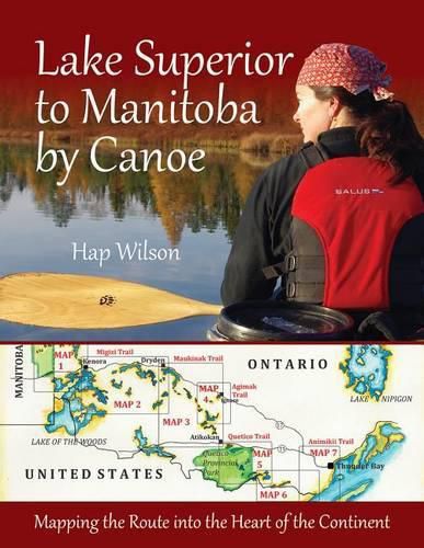
The Trans Canada Trail (www.thegreattrail.ca) was designed to run uninterrupted more than 20,000 kilometers from the Pacific to the Arctic to the Atlantic Ocean. Hap Wilson – a modern-day explorer and mapmaker – was the man chosen to find a water route through the wilderness from Thunder Bay on Lake Superior to Manitoba’s eastern border.
First Nations peoples had traveled this mosaic of lakes and rivers 7,000 years ago. Coureurs des bois and voyageurs had used it to carry furs and trading goods. Wilson set off to carve a trail for modern users. He mapped it, measured it, marked it and in the process, experienced the best and worst of Canada’s wilderness.
He survived bear confrontations, being struck by lightning, grueling days slashing open old portage routes, a knee replacement, violent storms, gale force winds, isolation, biting insects, tick infestations and bitter cold. Organizers christened this section of the Trans Canada Trail the Path of the Paddle in honor of canoeing icon Bill Mason and Canada’s First Nations.
In this exciting account, Hap Wilson divides his 1,200 km journey into 12 routes with varying degrees of difficulty. Diary excerpts, hand-drawn maps, GPS coordinates, and photographs provide up to date information, expert guidance and anecdotal color. He describes the pictographs, old encampment stone circles that he finds along the way, more evidence of early travel, survival, myth, legend and mystery.
$9.00 standard shipping within Australia
FREE standard shipping within Australia for orders over $100.00
Express & International shipping calculated at checkout
The Trans Canada Trail (www.thegreattrail.ca) was designed to run uninterrupted more than 20,000 kilometers from the Pacific to the Arctic to the Atlantic Ocean. Hap Wilson – a modern-day explorer and mapmaker – was the man chosen to find a water route through the wilderness from Thunder Bay on Lake Superior to Manitoba’s eastern border.
First Nations peoples had traveled this mosaic of lakes and rivers 7,000 years ago. Coureurs des bois and voyageurs had used it to carry furs and trading goods. Wilson set off to carve a trail for modern users. He mapped it, measured it, marked it and in the process, experienced the best and worst of Canada’s wilderness.
He survived bear confrontations, being struck by lightning, grueling days slashing open old portage routes, a knee replacement, violent storms, gale force winds, isolation, biting insects, tick infestations and bitter cold. Organizers christened this section of the Trans Canada Trail the Path of the Paddle in honor of canoeing icon Bill Mason and Canada’s First Nations.
In this exciting account, Hap Wilson divides his 1,200 km journey into 12 routes with varying degrees of difficulty. Diary excerpts, hand-drawn maps, GPS coordinates, and photographs provide up to date information, expert guidance and anecdotal color. He describes the pictographs, old encampment stone circles that he finds along the way, more evidence of early travel, survival, myth, legend and mystery.