Readings Newsletter
Become a Readings Member to make your shopping experience even easier.
Sign in or sign up for free!
You’re not far away from qualifying for FREE standard shipping within Australia
You’ve qualified for FREE standard shipping within Australia
The cart is loading…


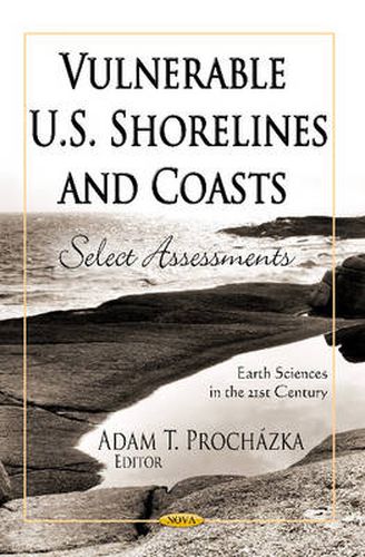
Beach erosion is a chronic problem along many open-ocean shores of the United States. As coastal populations continue to grow and community infrastructures are threatened by erosion, there is increased demand for accurate information regarding past and present trends and rates of shoreline movement. There is also a need for a comprehensive analysis of shoreline movement that is consistent from one coastal region to another. To meet this national need, the U.S. Geological Survey (USGS) has conducted an analysis of historical shoreline changes along open-ocean sandy shores of the conterminous United States and parts of Hawaii, Alaska and the Great Lakes. This book explores the development of a standard and repeatable method for mapping and analysing shoreline movement so that periodic, systematic, internally consistent updates regarding coastal erosion and land loss can be made nationally.
$9.00 standard shipping within Australia
FREE standard shipping within Australia for orders over $100.00
Express & International shipping calculated at checkout
Beach erosion is a chronic problem along many open-ocean shores of the United States. As coastal populations continue to grow and community infrastructures are threatened by erosion, there is increased demand for accurate information regarding past and present trends and rates of shoreline movement. There is also a need for a comprehensive analysis of shoreline movement that is consistent from one coastal region to another. To meet this national need, the U.S. Geological Survey (USGS) has conducted an analysis of historical shoreline changes along open-ocean sandy shores of the conterminous United States and parts of Hawaii, Alaska and the Great Lakes. This book explores the development of a standard and repeatable method for mapping and analysing shoreline movement so that periodic, systematic, internally consistent updates regarding coastal erosion and land loss can be made nationally.
Search our extensive online catalogue.
