Readings Newsletter
Become a Readings Member to make your shopping experience even easier.
Sign in or sign up for free!
You’re not far away from qualifying for FREE standard shipping within Australia
You’ve qualified for FREE standard shipping within Australia
The cart is loading…


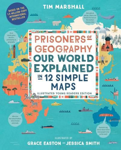
The secret world history written in the mountains, rivers, and seas that shape every country’s politics, economy, and international relations–and our own lives–is revealed in this illustrated young readers edition of Prisoners of Geography, the million-copy international bestseller. History is a story–and it’s impossible to tell the whole tale without understanding the setting. In this eye-opening illustrated edition of the international bestseller Prisoners of Geography, you’ll learn to spot connections between geography and world affairs in ways you never noticed before.
How did the US’s rivers help it become a superpower? Why are harsh, cold and swampy Siberia and the Russian Far East two of that country’s most prized regions? How come Japan prefers to trade along the coasts instead of across its land? What do the Himalayas have to do with war?
With colorful maps that capture every continent and region, plus hundreds of illustrations that illuminate how our surroundings shape us, this one-of-a-kind atlas will inspire curious minds of all ages!
$9.00 standard shipping within Australia
FREE standard shipping within Australia for orders over $100.00
Express & International shipping calculated at checkout
The secret world history written in the mountains, rivers, and seas that shape every country’s politics, economy, and international relations–and our own lives–is revealed in this illustrated young readers edition of Prisoners of Geography, the million-copy international bestseller. History is a story–and it’s impossible to tell the whole tale without understanding the setting. In this eye-opening illustrated edition of the international bestseller Prisoners of Geography, you’ll learn to spot connections between geography and world affairs in ways you never noticed before.
How did the US’s rivers help it become a superpower? Why are harsh, cold and swampy Siberia and the Russian Far East two of that country’s most prized regions? How come Japan prefers to trade along the coasts instead of across its land? What do the Himalayas have to do with war?
With colorful maps that capture every continent and region, plus hundreds of illustrations that illuminate how our surroundings shape us, this one-of-a-kind atlas will inspire curious minds of all ages!
Search our extensive online catalogue.
