Readings Newsletter
Become a Readings Member to make your shopping experience even easier.
Sign in or sign up for free!
You’re not far away from qualifying for FREE standard shipping within Australia
You’ve qualified for FREE standard shipping within Australia
The cart is loading…


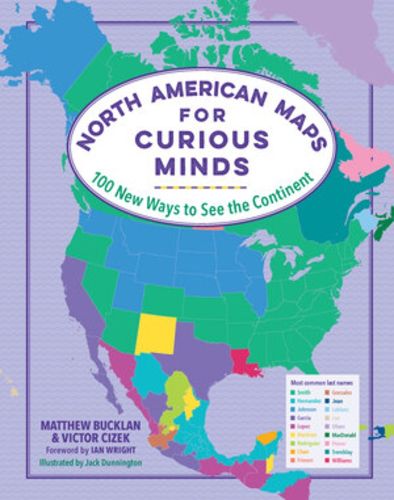
These 100 full-color infographic maps - from purely geographical to highly political - reveal remarkable new ways to understand the culture and history of North America.
From where in the contiguous states can you head south into Canada, or north into Mexico? Which states have had the most female governors? Learn the answers to these questions and more in North American Maps for Curious Minds - a one-of-a-kind atlas packed with eye-opening maps for the geographically curious and travel obsessed.
Featuring surprising facts (what are the highest-paid public employees in each state? Hint: Most are football coaches), whimsical data (which US latitudes are home to the most Waffle Houses?), and insightful connections (who knew the Midwest self-identifies as the most extroverted region of the country?), this book illuminates the unexpected contours of geography, history, politics, and many more fascinating facets of the continent and culture. Each of these 100 graphics will change the way you see North America - and your place on the map.
$9.00 standard shipping within Australia
FREE standard shipping within Australia for orders over $100.00
Express & International shipping calculated at checkout
These 100 full-color infographic maps - from purely geographical to highly political - reveal remarkable new ways to understand the culture and history of North America.
From where in the contiguous states can you head south into Canada, or north into Mexico? Which states have had the most female governors? Learn the answers to these questions and more in North American Maps for Curious Minds - a one-of-a-kind atlas packed with eye-opening maps for the geographically curious and travel obsessed.
Featuring surprising facts (what are the highest-paid public employees in each state? Hint: Most are football coaches), whimsical data (which US latitudes are home to the most Waffle Houses?), and insightful connections (who knew the Midwest self-identifies as the most extroverted region of the country?), this book illuminates the unexpected contours of geography, history, politics, and many more fascinating facets of the continent and culture. Each of these 100 graphics will change the way you see North America - and your place on the map.
Search our extensive online catalogue.
