Readings Newsletter
Become a Readings Member to make your shopping experience even easier.
Sign in or sign up for free!
You’re not far away from qualifying for FREE standard shipping within Australia
You’ve qualified for FREE standard shipping within Australia
The cart is loading…


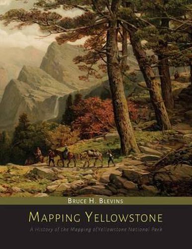
Blevin’s work is the first devoted entirely to the mapping of Yellowstone National Park. Mapping Yellowstone covers the period from the discovery of America through to the 1920s with maps covering the period from 1796 to 1986. Emphasis is on initial exploration of the park, and continuing through to the period of extensive U.S. government cartography from 1814 to 1883. Aspects of mapping include: early conjectures, fur trapping era, military expeditions, geologic surveys, government boundaries, personal travel accounts and promotional and atlas cartography. Samples of atlas illustrations are used to represent what the majority of the public knew about the park during the early years. Many maps discussed and illustrated are unpublished manuscript maps or maps with very limited distribution. There are 306 maps included in this history on the mapping of Yellowstone National Park with 210 illustrations. An exhaustive effort to chronicle the mapping of one of the great U.S. national parks.
$9.00 standard shipping within Australia
FREE standard shipping within Australia for orders over $100.00
Express & International shipping calculated at checkout
Blevin’s work is the first devoted entirely to the mapping of Yellowstone National Park. Mapping Yellowstone covers the period from the discovery of America through to the 1920s with maps covering the period from 1796 to 1986. Emphasis is on initial exploration of the park, and continuing through to the period of extensive U.S. government cartography from 1814 to 1883. Aspects of mapping include: early conjectures, fur trapping era, military expeditions, geologic surveys, government boundaries, personal travel accounts and promotional and atlas cartography. Samples of atlas illustrations are used to represent what the majority of the public knew about the park during the early years. Many maps discussed and illustrated are unpublished manuscript maps or maps with very limited distribution. There are 306 maps included in this history on the mapping of Yellowstone National Park with 210 illustrations. An exhaustive effort to chronicle the mapping of one of the great U.S. national parks.