Readings Newsletter
Become a Readings Member to make your shopping experience even easier.
Sign in or sign up for free!
You’re not far away from qualifying for FREE standard shipping within Australia
You’ve qualified for FREE standard shipping within Australia
The cart is loading…


This title is printed to order. This book may have been self-published. If so, we cannot guarantee the quality of the content. In the main most books will have gone through the editing process however some may not. We therefore suggest that you be aware of this before ordering this book. If in doubt check either the author or publisher’s details as we are unable to accept any returns unless they are faulty. Please contact us if you have any questions.
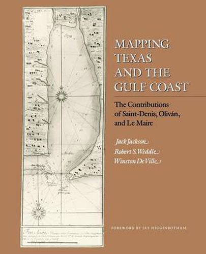
This careful study of eighteenth-century cartography along the Gulf Coast reveals a fascinating mix of cooperation and competition between Spain and France.Louis Juchereau de Saint-Denis explored much of the region around the Gulf and sent data to his homeland of France, but he also shared information with Spanish officials. Juan Manuel de Olivan Rebolledo used this information to create several maps, one of which was drawn to demonstrate how Spain might protect itself from the French threat in Louisiana and Canada.Information from the Olivan/Saint-Denis maps soon emerged on French maps. Guillaume Delisle’s 1718
mother map
of the Gulf Coast was made possible by Francois Le Maire, a virtually unknown French missionary in Mobile. Jack Jackson and Winston De Ville examine Le Maire’s various memoirs and maps, which relied on Saint-Denis for their portrayal of the
Western Country.
Le Maire’s work explains how Delisle acquired the information to draw his profoundly influential map.This important book for cartographers will also be of interest to the lay historian and the Gulf Coast enthusiast.
$9.00 standard shipping within Australia
FREE standard shipping within Australia for orders over $100.00
Express & International shipping calculated at checkout
This title is printed to order. This book may have been self-published. If so, we cannot guarantee the quality of the content. In the main most books will have gone through the editing process however some may not. We therefore suggest that you be aware of this before ordering this book. If in doubt check either the author or publisher’s details as we are unable to accept any returns unless they are faulty. Please contact us if you have any questions.
This careful study of eighteenth-century cartography along the Gulf Coast reveals a fascinating mix of cooperation and competition between Spain and France.Louis Juchereau de Saint-Denis explored much of the region around the Gulf and sent data to his homeland of France, but he also shared information with Spanish officials. Juan Manuel de Olivan Rebolledo used this information to create several maps, one of which was drawn to demonstrate how Spain might protect itself from the French threat in Louisiana and Canada.Information from the Olivan/Saint-Denis maps soon emerged on French maps. Guillaume Delisle’s 1718
mother map
of the Gulf Coast was made possible by Francois Le Maire, a virtually unknown French missionary in Mobile. Jack Jackson and Winston De Ville examine Le Maire’s various memoirs and maps, which relied on Saint-Denis for their portrayal of the
Western Country.
Le Maire’s work explains how Delisle acquired the information to draw his profoundly influential map.This important book for cartographers will also be of interest to the lay historian and the Gulf Coast enthusiast.
Search our extensive online catalogue.
