Readings Newsletter
Become a Readings Member to make your shopping experience even easier.
Sign in or sign up for free!
You’re not far away from qualifying for FREE standard shipping within Australia
You’ve qualified for FREE standard shipping within Australia
The cart is loading…


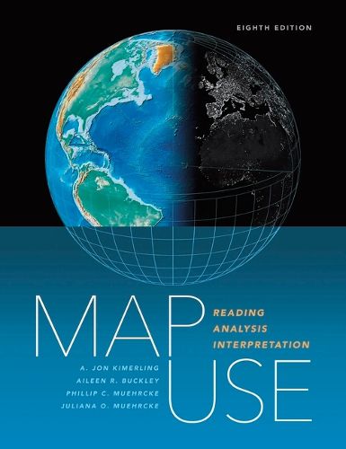
Map Use: Reading, Analysis, Interpretation, eighth edition is a comprehensive, foundational textbook designed for the college curriculum. With a section on map interpretation, Map Use provides students with the knowledge and skills to read and understand maps, and offers professional cartographers a thorough reference resource.
Nearly 600 full-color maps, photographs, and graphs illustrate the concepts behind communicating with maps, while PowerPoint slides (available through the book resource page at https: //links.esri.com/MapUseSlides) further support use of the text in the classroom.
The book renders basic cartographic principles accessible to all, from students of cartography and map design to those without a formal education in geography. Accommodating new developments in GPS and geographic information system technology, Map Use: Reading, Analysis, Interpretation, eighth edition can serve as an excellent introductory GIS text.
$9.00 standard shipping within Australia
FREE standard shipping within Australia for orders over $100.00
Express & International shipping calculated at checkout
Map Use: Reading, Analysis, Interpretation, eighth edition is a comprehensive, foundational textbook designed for the college curriculum. With a section on map interpretation, Map Use provides students with the knowledge and skills to read and understand maps, and offers professional cartographers a thorough reference resource.
Nearly 600 full-color maps, photographs, and graphs illustrate the concepts behind communicating with maps, while PowerPoint slides (available through the book resource page at https: //links.esri.com/MapUseSlides) further support use of the text in the classroom.
The book renders basic cartographic principles accessible to all, from students of cartography and map design to those without a formal education in geography. Accommodating new developments in GPS and geographic information system technology, Map Use: Reading, Analysis, Interpretation, eighth edition can serve as an excellent introductory GIS text.