Readings Newsletter
Become a Readings Member to make your shopping experience even easier.
Sign in or sign up for free!
You’re not far away from qualifying for FREE standard shipping within Australia
You’ve qualified for FREE standard shipping within Australia
The cart is loading…


With the world facing immense challenges, how do we create a safer and more equitable world?
Geospatial intelligence offers valuable insights to help organizations and governments protect communities. By using technology to obtain location-based data, these groups can make spatially informed decisions about how best to help people who are most at risk. Learning the technical skills needed to use geographic information systems (GIS) to visualize and interpret this data has never been more essential for working to find resolutions for the numerous challenges humanity faces today.
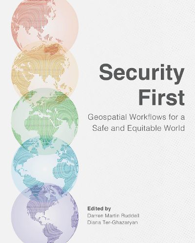
Security First: Geospatial Workflows for a Safe and Equitable World guides readers through specific exercises and examples to show how GIS can be used to address significant world issues while building the technical skills required to work in the field of human security and geospatial intelligence.
Through 20 geospatial workflows, Security First covers a breadth of topics found in geospatial security, such as:
human rights violations, vulnerability to flooding, concerns around illegal fishing, quantifying and mapping land use and land cover change, monitoring environmental justice, and emergency response and disaster management.
Each chapter is organized with learning objectives, technical requirements, prerequisite knowledge, a geospatial workflow, an analysis, and additional resources. All detailed exercises use ArcGIS software and downloadable data, helping to establish and reinforce the technical skills of readers. Users will also interpret their results and write an intelligence brief, requiring them to think critically about the result of their work. In helping to guide strategic decision-making, this manual will get readers on their way to incorporating GIS into their work for improved analysis and results.
Written for professors, students, and professionals, Security First is the first crowdsourced workbook in the growing field of human security and geospatial intelligence. Contributors and editors include academics teaching or studying human security and geospatial intelligence.
Get the technical and critical-thinking skills you need to work in human security and geospatial intelligence.
$9.00 standard shipping within Australia
FREE standard shipping within Australia for orders over $100.00
Express & International shipping calculated at checkout
With the world facing immense challenges, how do we create a safer and more equitable world?
Geospatial intelligence offers valuable insights to help organizations and governments protect communities. By using technology to obtain location-based data, these groups can make spatially informed decisions about how best to help people who are most at risk. Learning the technical skills needed to use geographic information systems (GIS) to visualize and interpret this data has never been more essential for working to find resolutions for the numerous challenges humanity faces today.
Security First: Geospatial Workflows for a Safe and Equitable World guides readers through specific exercises and examples to show how GIS can be used to address significant world issues while building the technical skills required to work in the field of human security and geospatial intelligence.
Through 20 geospatial workflows, Security First covers a breadth of topics found in geospatial security, such as:
human rights violations, vulnerability to flooding, concerns around illegal fishing, quantifying and mapping land use and land cover change, monitoring environmental justice, and emergency response and disaster management.
Each chapter is organized with learning objectives, technical requirements, prerequisite knowledge, a geospatial workflow, an analysis, and additional resources. All detailed exercises use ArcGIS software and downloadable data, helping to establish and reinforce the technical skills of readers. Users will also interpret their results and write an intelligence brief, requiring them to think critically about the result of their work. In helping to guide strategic decision-making, this manual will get readers on their way to incorporating GIS into their work for improved analysis and results.
Written for professors, students, and professionals, Security First is the first crowdsourced workbook in the growing field of human security and geospatial intelligence. Contributors and editors include academics teaching or studying human security and geospatial intelligence.
Get the technical and critical-thinking skills you need to work in human security and geospatial intelligence.