Readings Newsletter
Become a Readings Member to make your shopping experience even easier.
Sign in or sign up for free!
You’re not far away from qualifying for FREE standard shipping within Australia
You’ve qualified for FREE standard shipping within Australia
The cart is loading…


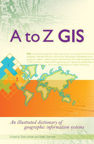
As GIS technology has evolved and grown, so has the language of this powerful tool. Written, developed, and reviewed by more than 150 subject-matter experts, A to Z GIS An Illustrated Dictionary of Geographic Information Systems is packed with more than 1,800 terms, nearly 400 full-color illustrations, and seven encyclopedia-style appendix articles about annotation and labels, features, geometry, layers in ArcGIS, map projections and coordinate systems, remote sensing, and topology.
A to Z GIS An Illustrated Dictionary of Geographic Information Systems is a must-have resource for managers, programmers, users, writers, editors, and students discovering the interdisciplinary nature of GIS.
$9.00 standard shipping within Australia
FREE standard shipping within Australia for orders over $100.00
Express & International shipping calculated at checkout
As GIS technology has evolved and grown, so has the language of this powerful tool. Written, developed, and reviewed by more than 150 subject-matter experts, A to Z GIS An Illustrated Dictionary of Geographic Information Systems is packed with more than 1,800 terms, nearly 400 full-color illustrations, and seven encyclopedia-style appendix articles about annotation and labels, features, geometry, layers in ArcGIS, map projections and coordinate systems, remote sensing, and topology.
A to Z GIS An Illustrated Dictionary of Geographic Information Systems is a must-have resource for managers, programmers, users, writers, editors, and students discovering the interdisciplinary nature of GIS.