Readings Newsletter
Become a Readings Member to make your shopping experience even easier.
Sign in or sign up for free!
You’re not far away from qualifying for FREE standard shipping within Australia
You’ve qualified for FREE standard shipping within Australia
The cart is loading…


This title is printed to order. This book may have been self-published. If so, we cannot guarantee the quality of the content. In the main most books will have gone through the editing process however some may not. We therefore suggest that you be aware of this before ordering this book. If in doubt check either the author or publisher’s details as we are unable to accept any returns unless they are faulty. Please contact us if you have any questions.
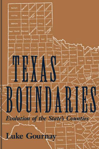
The history of Texas is mapped out in this atlas of Texas’ geographical and political evolution. Texas Boundaries provides a concise reference to the boundary changes that have been part of the state’s experience since the earliest days. From the early boundaries of New Spain to the 254 governmental bodies we know as counties today, the drawing of these geo-political units reflects both the history of the state and the passions and philosophy that underlie it. As population increased, more county courthouses were needed, and new counties were created. Every time a new county was formed, Texas had a new map. This book documents the development of these Texas maps. Behind the maps are the stories of the founders of the new counties, the actions of the governmental body that created the county, the choice of a name for the county, and colorful stories about the selection of county seats. Specialists, general readers, and anyone interested in the geography of the Lone Star State will find this book, indeed, a
gem.
$9.00 standard shipping within Australia
FREE standard shipping within Australia for orders over $100.00
Express & International shipping calculated at checkout
This title is printed to order. This book may have been self-published. If so, we cannot guarantee the quality of the content. In the main most books will have gone through the editing process however some may not. We therefore suggest that you be aware of this before ordering this book. If in doubt check either the author or publisher’s details as we are unable to accept any returns unless they are faulty. Please contact us if you have any questions.
The history of Texas is mapped out in this atlas of Texas’ geographical and political evolution. Texas Boundaries provides a concise reference to the boundary changes that have been part of the state’s experience since the earliest days. From the early boundaries of New Spain to the 254 governmental bodies we know as counties today, the drawing of these geo-political units reflects both the history of the state and the passions and philosophy that underlie it. As population increased, more county courthouses were needed, and new counties were created. Every time a new county was formed, Texas had a new map. This book documents the development of these Texas maps. Behind the maps are the stories of the founders of the new counties, the actions of the governmental body that created the county, the choice of a name for the county, and colorful stories about the selection of county seats. Specialists, general readers, and anyone interested in the geography of the Lone Star State will find this book, indeed, a
gem.
Search our extensive online catalogue.
