Readings Newsletter
Become a Readings Member to make your shopping experience even easier.
Sign in or sign up for free!
You’re not far away from qualifying for FREE standard shipping within Australia
You’ve qualified for FREE standard shipping within Australia
The cart is loading…


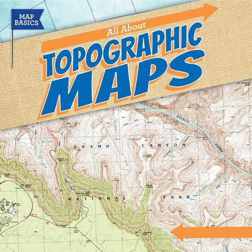
Which trail has a gentle slope? Where are the highest mountains along the Appalachian Trail? Is there a lake along the route? As students read this engaging volume, they will learn how to use United States Geological Survey (USGS) contour maps to answer these questions. They’ll get an historical overview of how surveyors used to create these maps, and how technology now helps create more accurate maps. Students will construct 3D models of areas on a topographic map.
$9.00 standard shipping within Australia
FREE standard shipping within Australia for orders over $100.00
Express & International shipping calculated at checkout
Which trail has a gentle slope? Where are the highest mountains along the Appalachian Trail? Is there a lake along the route? As students read this engaging volume, they will learn how to use United States Geological Survey (USGS) contour maps to answer these questions. They’ll get an historical overview of how surveyors used to create these maps, and how technology now helps create more accurate maps. Students will construct 3D models of areas on a topographic map.
Search our extensive online catalogue.
