Readings Newsletter
Become a Readings Member to make your shopping experience even easier.
Sign in or sign up for free!
You’re not far away from qualifying for FREE standard shipping within Australia
You’ve qualified for FREE standard shipping within Australia
The cart is loading…


This title is printed to order. This book may have been self-published. If so, we cannot guarantee the quality of the content. In the main most books will have gone through the editing process however some may not. We therefore suggest that you be aware of this before ordering this book. If in doubt check either the author or publisher’s details as we are unable to accept any returns unless they are faulty. Please contact us if you have any questions.
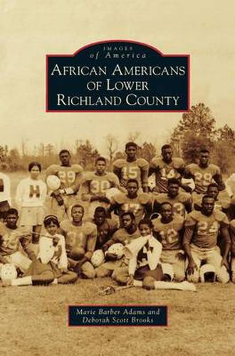
Lower Richland County encompasses approximately 360 square miles in the heart of South Carolina s geographic center. The Wateree River cradles it to the east, and the Congaree River borders the south and southwest. Virginia settlers discovered this rich land over 250 years ago. They became wealthy planters and accumulated large land tracts, creating plantation systems that sustained the economy. From 1783 until 1820, cotton was the principal cash crop, and the slave population increased tremendously and played a vital role in the development of agriculture and the economy in the area.
$9.00 standard shipping within Australia
FREE standard shipping within Australia for orders over $100.00
Express & International shipping calculated at checkout
This title is printed to order. This book may have been self-published. If so, we cannot guarantee the quality of the content. In the main most books will have gone through the editing process however some may not. We therefore suggest that you be aware of this before ordering this book. If in doubt check either the author or publisher’s details as we are unable to accept any returns unless they are faulty. Please contact us if you have any questions.
Lower Richland County encompasses approximately 360 square miles in the heart of South Carolina s geographic center. The Wateree River cradles it to the east, and the Congaree River borders the south and southwest. Virginia settlers discovered this rich land over 250 years ago. They became wealthy planters and accumulated large land tracts, creating plantation systems that sustained the economy. From 1783 until 1820, cotton was the principal cash crop, and the slave population increased tremendously and played a vital role in the development of agriculture and the economy in the area.
Search our extensive online catalogue.
