Readings Newsletter
Become a Readings Member to make your shopping experience even easier.
Sign in or sign up for free!
You’re not far away from qualifying for FREE standard shipping within Australia
You’ve qualified for FREE standard shipping within Australia
The cart is loading…


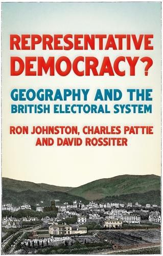
Members of parliament in the United Kingdom are elected to represent geographic constituencies, but how are these defined and what are the consequences for representative democracy? Following the Conservative party’s large majority in the 2019 general election, some have suggested that drastic changes to Britain’s constituency boundaries could be afoot, affecting every corner of the UK. As populations grow and move, it is commonly accepted that changes are necessary, but these are fraught with difficulty, and the political consequences may be drastic. This major new survey reveals how constituency mapping has changed since 1832. Tackling issues such as the evolution of an independent procedure, first introduced in 1944, and the new rules for redistributions introduced in 2011, it illustrates how election results have favoured some political parties over others. Is our electoral system and the way it is mapped fit for purpose? – .
$9.00 standard shipping within Australia
FREE standard shipping within Australia for orders over $100.00
Express & International shipping calculated at checkout
Members of parliament in the United Kingdom are elected to represent geographic constituencies, but how are these defined and what are the consequences for representative democracy? Following the Conservative party’s large majority in the 2019 general election, some have suggested that drastic changes to Britain’s constituency boundaries could be afoot, affecting every corner of the UK. As populations grow and move, it is commonly accepted that changes are necessary, but these are fraught with difficulty, and the political consequences may be drastic. This major new survey reveals how constituency mapping has changed since 1832. Tackling issues such as the evolution of an independent procedure, first introduced in 1944, and the new rules for redistributions introduced in 2011, it illustrates how election results have favoured some political parties over others. Is our electoral system and the way it is mapped fit for purpose? – .