Readings Newsletter
Become a Readings Member to make your shopping experience even easier.
Sign in or sign up for free!
You’re not far away from qualifying for FREE standard shipping within Australia
You’ve qualified for FREE standard shipping within Australia
The cart is loading…


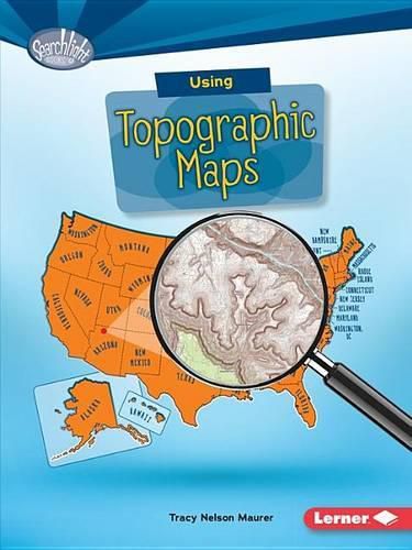
Want to know how tall Mount Everest is? Topographic maps use lines to show the height and shape of Earth’s surface. But how do you read the lines? Read on to learn all about topographic maps!
$9.00 standard shipping within Australia
FREE standard shipping within Australia for orders over $100.00
Express & International shipping calculated at checkout
Want to know how tall Mount Everest is? Topographic maps use lines to show the height and shape of Earth’s surface. But how do you read the lines? Read on to learn all about topographic maps!
Search our extensive online catalogue.
