Readings Newsletter
Become a Readings Member to make your shopping experience even easier.
Sign in or sign up for free!
You’re not far away from qualifying for FREE standard shipping within Australia
You’ve qualified for FREE standard shipping within Australia
The cart is loading…


On Colorado's Western Slope, stunning geological features and awe-inspiring scenery create a unique hiking experience unlike any other.
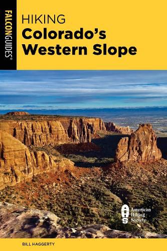
This revised edition of HikingColorado's Western Slope provides concise descriptions and detailed maps for over 50 of the state's finest trails west of the Great Divide. Veteran hiker and author of Best Easy Day Hikes: Grand Junction and Fruita, Bill Haggerty, recommends his favorite routes-from short day walks to backcountry treks through the Western Slope's spectacular landscape, including hikes near Aspen, Vail, the Flat Tops Wilderness, Steamboat Springs, Crested Butte and Gunnison, Ouray, Telluride, Grand Junction, and more.
Inside you'll find
Hikes suited to every ability GPS-compatible trail maps and route profiles Mile-by-mile directional cues Difficulty ratings, average hiking times, best hiking seasons, and more
$9.00 standard shipping within Australia
FREE standard shipping within Australia for orders over $100.00
Express & International shipping calculated at checkout
On Colorado's Western Slope, stunning geological features and awe-inspiring scenery create a unique hiking experience unlike any other.
This revised edition of HikingColorado's Western Slope provides concise descriptions and detailed maps for over 50 of the state's finest trails west of the Great Divide. Veteran hiker and author of Best Easy Day Hikes: Grand Junction and Fruita, Bill Haggerty, recommends his favorite routes-from short day walks to backcountry treks through the Western Slope's spectacular landscape, including hikes near Aspen, Vail, the Flat Tops Wilderness, Steamboat Springs, Crested Butte and Gunnison, Ouray, Telluride, Grand Junction, and more.
Inside you'll find
Hikes suited to every ability GPS-compatible trail maps and route profiles Mile-by-mile directional cues Difficulty ratings, average hiking times, best hiking seasons, and more