Readings Newsletter
Become a Readings Member to make your shopping experience even easier.
Sign in or sign up for free!
You’re not far away from qualifying for FREE standard shipping within Australia
You’ve qualified for FREE standard shipping within Australia
The cart is loading…


This title is printed to order. This book may have been self-published. If so, we cannot guarantee the quality of the content. In the main most books will have gone through the editing process however some may not. We therefore suggest that you be aware of this before ordering this book. If in doubt check either the author or publisher’s details as we are unable to accept any returns unless they are faulty. Please contact us if you have any questions.
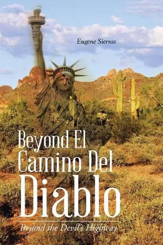
El Camino Del Diablo (the Devil’s Highway) today is an unpaved 130 mile route along the border between Arizona and Sonora, Mexico. The current route begins at Lukeville, Arizona 21 miles southwest of Ajo at the boundary between Organ Pipe Cactus National Monument and Cabeza Prieta National Wildlife Refuge. From there it continues through barren and isolated Sonoran Desert to Yuma. Some of the features along the way are: San Cristobal Wash, the Agua Dulce Mountains, Papago Well; Camp Grip, the Pinta Sand Dunes and the Pinacate Volcanic Field. The road passes through the Tule Desert and Mountains and into Tule Tank Canyon to reach Tule Well where the road intersects with Christmas Pass Road. The road continues through the Lechuguilla Desert, Tordillo Mountain, and the Tinajas Altas Mountains. The route passes west of Raven Butte and Cipriano Pass. It then follows the western border of the Gila Mountains, passing by the abandoned Fortuna Mine before finally reaching the small community of Fortune Hills on the outskirts of Yuma.
$9.00 standard shipping within Australia
FREE standard shipping within Australia for orders over $100.00
Express & International shipping calculated at checkout
This title is printed to order. This book may have been self-published. If so, we cannot guarantee the quality of the content. In the main most books will have gone through the editing process however some may not. We therefore suggest that you be aware of this before ordering this book. If in doubt check either the author or publisher’s details as we are unable to accept any returns unless they are faulty. Please contact us if you have any questions.
El Camino Del Diablo (the Devil’s Highway) today is an unpaved 130 mile route along the border between Arizona and Sonora, Mexico. The current route begins at Lukeville, Arizona 21 miles southwest of Ajo at the boundary between Organ Pipe Cactus National Monument and Cabeza Prieta National Wildlife Refuge. From there it continues through barren and isolated Sonoran Desert to Yuma. Some of the features along the way are: San Cristobal Wash, the Agua Dulce Mountains, Papago Well; Camp Grip, the Pinta Sand Dunes and the Pinacate Volcanic Field. The road passes through the Tule Desert and Mountains and into Tule Tank Canyon to reach Tule Well where the road intersects with Christmas Pass Road. The road continues through the Lechuguilla Desert, Tordillo Mountain, and the Tinajas Altas Mountains. The route passes west of Raven Butte and Cipriano Pass. It then follows the western border of the Gila Mountains, passing by the abandoned Fortuna Mine before finally reaching the small community of Fortune Hills on the outskirts of Yuma.
Search our extensive online catalogue.
