Readings Newsletter
Become a Readings Member to make your shopping experience even easier.
Sign in or sign up for free!
You’re not far away from qualifying for FREE standard shipping within Australia
You’ve qualified for FREE standard shipping within Australia
The cart is loading…


This title is printed to order. This book may have been self-published. If so, we cannot guarantee the quality of the content. In the main most books will have gone through the editing process however some may not. We therefore suggest that you be aware of this before ordering this book. If in doubt check either the author or publisher’s details as we are unable to accept any returns unless they are faulty. Please contact us if you have any questions.
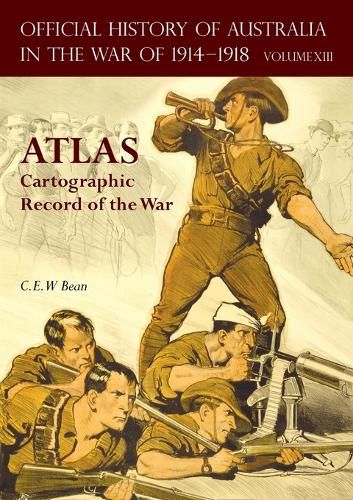
An important and large collection of 176 annotated full page maps documenting Australia's service in the Great War.
A full assembly of the 176 valuable full-page maps, extracted from 'The Official History of Australia in the War of 1914-1918'. This unique series covers Australia's involvement in the First World War and with 12 volumes was the largest single historical project undertaken in Australia at the time of publication. For completeness, the maps from Medical Services volumes are also included in this atlas.
This notable history of Australia's involvement in this conflict remains to this day highly regarded internationally, and has retained its integrity as the single greatest source of interpretation of Australia's part in the First World War.
The maps are faithful to the originals in all respects, allowing the reader to follow the chronological record of all services and theatres of conflict. Reproduced separately to the text volumes, they are both practical and convenient, and allow easy referencing of the text volumes.
$9.00 standard shipping within Australia
FREE standard shipping within Australia for orders over $100.00
Express & International shipping calculated at checkout
This title is printed to order. This book may have been self-published. If so, we cannot guarantee the quality of the content. In the main most books will have gone through the editing process however some may not. We therefore suggest that you be aware of this before ordering this book. If in doubt check either the author or publisher’s details as we are unable to accept any returns unless they are faulty. Please contact us if you have any questions.
An important and large collection of 176 annotated full page maps documenting Australia's service in the Great War.
A full assembly of the 176 valuable full-page maps, extracted from 'The Official History of Australia in the War of 1914-1918'. This unique series covers Australia's involvement in the First World War and with 12 volumes was the largest single historical project undertaken in Australia at the time of publication. For completeness, the maps from Medical Services volumes are also included in this atlas.
This notable history of Australia's involvement in this conflict remains to this day highly regarded internationally, and has retained its integrity as the single greatest source of interpretation of Australia's part in the First World War.
The maps are faithful to the originals in all respects, allowing the reader to follow the chronological record of all services and theatres of conflict. Reproduced separately to the text volumes, they are both practical and convenient, and allow easy referencing of the text volumes.
Search our extensive online catalogue.
