Readings Newsletter
Become a Readings Member to make your shopping experience even easier.
Sign in or sign up for free!
You’re not far away from qualifying for FREE standard shipping within Australia
You’ve qualified for FREE standard shipping within Australia
The cart is loading…


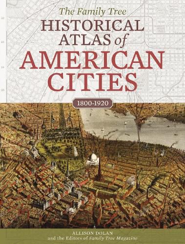
This collection of maps traces the development of America’s biggest and most historically important cities, allowing readers to see these metropolises–many of them vital stops along immigration and migratory routes–as their ancestors would have seen them.
This book, a continuation of the historical maps book series, will guide you through American history by looking at the country’s most populous and historically important cities. Maps trace the city’s growth and development from its founding to the turn of the twenty-first century, giving you the ability to see the city as your ancestors who lived there did. For even more research value, the maps for each city will be accompanied by a quick reference timeline with key dates that affect genealogy record availability and information about valuable resources for the area, such as gaps in census coverage and when and where city directories are available. These books will also have wider, historical crossover appeal in the twenty major cities that will be featured, including New York, Houston, Philadelphia, Chicago and Los Angeles. AUTHOR: Andrew Koch is the editor of Family Tree Books and a contributor to Family Tree Magazine, the leading genealogy magazine in North America with a paid circulation of more than 50,000. SELLING POINTS:
Features beautiful, full-colour maps of America’s most historically important cities throughout time that have both aesthetic and research value; historical timelines and lists of resources for each city; and links to online versions of the map for further enhancement and study.
People love historical maps. Websites featuring digitised historical maps, such as DavidRumsey.com and HistoricMapsWorks.com, average between 35K and 60K unique monthly visitors. In addition, online tools like Google Earth have opened up new possibilities for what users can do with digitized maps.
The book capitalises on the fervour for local history in each city’s market, and it is an excellent value compared to premium priced hardcover atlases in the general reference/atlases category. 300 colour photos and illustrations
$9.00 standard shipping within Australia
FREE standard shipping within Australia for orders over $100.00
Express & International shipping calculated at checkout
This collection of maps traces the development of America’s biggest and most historically important cities, allowing readers to see these metropolises–many of them vital stops along immigration and migratory routes–as their ancestors would have seen them.
This book, a continuation of the historical maps book series, will guide you through American history by looking at the country’s most populous and historically important cities. Maps trace the city’s growth and development from its founding to the turn of the twenty-first century, giving you the ability to see the city as your ancestors who lived there did. For even more research value, the maps for each city will be accompanied by a quick reference timeline with key dates that affect genealogy record availability and information about valuable resources for the area, such as gaps in census coverage and when and where city directories are available. These books will also have wider, historical crossover appeal in the twenty major cities that will be featured, including New York, Houston, Philadelphia, Chicago and Los Angeles. AUTHOR: Andrew Koch is the editor of Family Tree Books and a contributor to Family Tree Magazine, the leading genealogy magazine in North America with a paid circulation of more than 50,000. SELLING POINTS:
Features beautiful, full-colour maps of America’s most historically important cities throughout time that have both aesthetic and research value; historical timelines and lists of resources for each city; and links to online versions of the map for further enhancement and study.
People love historical maps. Websites featuring digitised historical maps, such as DavidRumsey.com and HistoricMapsWorks.com, average between 35K and 60K unique monthly visitors. In addition, online tools like Google Earth have opened up new possibilities for what users can do with digitized maps.
The book capitalises on the fervour for local history in each city’s market, and it is an excellent value compared to premium priced hardcover atlases in the general reference/atlases category. 300 colour photos and illustrations
Search our extensive online catalogue.
