Readings Newsletter
Become a Readings Member to make your shopping experience even easier.
Sign in or sign up for free!
You’re not far away from qualifying for FREE standard shipping within Australia
You’ve qualified for FREE standard shipping within Australia
The cart is loading…


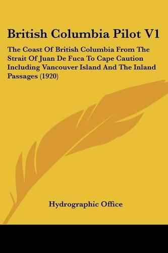
The British Columbia Pilot V1 is a comprehensive guidebook for navigating the coast of British Columbia, Canada, from the Strait of Juan de Fuca to Cape Caution. Published in 1920 by the Hydrographic Office, the book provides detailed information and charts for mariners traveling through Vancouver Island and the Inland Passages. The guidebook includes descriptions of the geography, tides, currents, and weather patterns of the region, as well as information on ports, harbors, and anchorages. The charts are accompanied by notes on hazards, landmarks, and other important navigational features. This book is an essential resource for anyone planning to navigate the waters of British Columbia, whether for commercial or recreational purposes.This scarce antiquarian book is a facsimile reprint of the old original and may contain some imperfections such as library marks and notations. Because we believe this work is culturally important, we have made it available as part of our commitment for protecting, preserving, and promoting the world's literature in affordable, high quality, modern editions, that are true to their original work.
$9.00 standard shipping within Australia
FREE standard shipping within Australia for orders over $100.00
Express & International shipping calculated at checkout
The British Columbia Pilot V1 is a comprehensive guidebook for navigating the coast of British Columbia, Canada, from the Strait of Juan de Fuca to Cape Caution. Published in 1920 by the Hydrographic Office, the book provides detailed information and charts for mariners traveling through Vancouver Island and the Inland Passages. The guidebook includes descriptions of the geography, tides, currents, and weather patterns of the region, as well as information on ports, harbors, and anchorages. The charts are accompanied by notes on hazards, landmarks, and other important navigational features. This book is an essential resource for anyone planning to navigate the waters of British Columbia, whether for commercial or recreational purposes.This scarce antiquarian book is a facsimile reprint of the old original and may contain some imperfections such as library marks and notations. Because we believe this work is culturally important, we have made it available as part of our commitment for protecting, preserving, and promoting the world's literature in affordable, high quality, modern editions, that are true to their original work.