Readings Newsletter
Become a Readings Member to make your shopping experience even easier.
Sign in or sign up for free!
You’re not far away from qualifying for FREE standard shipping within Australia
You’ve qualified for FREE standard shipping within Australia
The cart is loading…


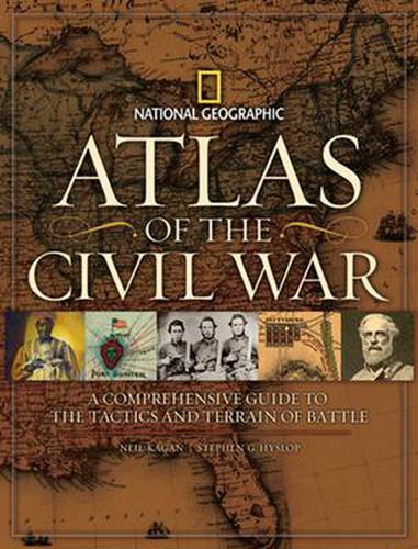
In this one-of-a-kind atlas, both archival and newly created maps trace the battles, political turmoil, and great themes of the nation’s most pivotal conflict. Eighty-five rare period map examples, many seen here for the first time, track the Civil War’s development: campaign maps laying out the field of battle…commercial maps produced for a news-hungry public…charts commissioned by Union and Confederate generals to record troop movements for posterity. Thirty-five new views focus on key moments in major battles, as diagrammed by National Geographic’s award-winning cartographers using satellite data for precise representation of terrain. Spanning from the prewar years through every major engagement to Reconstruction, National Geographic’s Atlas of the Civil War reveals at least one eye-opening map - and a gripping, self-contained story - on every spread. Compelling text guides readers through the maps in a unique way, bringing them to life and infusing them with personal dramas that highlight the human side of war. Timelines list social, political, and military milestones; biographies share little-known stories of soldiers and civilians caught up in the devastating conflict. Documentary photographs and art offer rare glimpses of 19th century life: prewar images of Abraham and Mary Lincoln, a white child in the care of an enslaved African American, young recruits confident of a quick resolution, unflinching scenes of the war’s aftermath. Completing the coverage, two comprehensive Theater of War maps in the Appendix highlight battles in the East, in the West, and on the water - helping readers visualize at a glance how the years and events progressed.
$9.00 standard shipping within Australia
FREE standard shipping within Australia for orders over $100.00
Express & International shipping calculated at checkout
In this one-of-a-kind atlas, both archival and newly created maps trace the battles, political turmoil, and great themes of the nation’s most pivotal conflict. Eighty-five rare period map examples, many seen here for the first time, track the Civil War’s development: campaign maps laying out the field of battle…commercial maps produced for a news-hungry public…charts commissioned by Union and Confederate generals to record troop movements for posterity. Thirty-five new views focus on key moments in major battles, as diagrammed by National Geographic’s award-winning cartographers using satellite data for precise representation of terrain. Spanning from the prewar years through every major engagement to Reconstruction, National Geographic’s Atlas of the Civil War reveals at least one eye-opening map - and a gripping, self-contained story - on every spread. Compelling text guides readers through the maps in a unique way, bringing them to life and infusing them with personal dramas that highlight the human side of war. Timelines list social, political, and military milestones; biographies share little-known stories of soldiers and civilians caught up in the devastating conflict. Documentary photographs and art offer rare glimpses of 19th century life: prewar images of Abraham and Mary Lincoln, a white child in the care of an enslaved African American, young recruits confident of a quick resolution, unflinching scenes of the war’s aftermath. Completing the coverage, two comprehensive Theater of War maps in the Appendix highlight battles in the East, in the West, and on the water - helping readers visualize at a glance how the years and events progressed.
Search our extensive online catalogue.
