Readings Newsletter
Become a Readings Member to make your shopping experience even easier.
Sign in or sign up for free!
You’re not far away from qualifying for FREE standard shipping within Australia
You’ve qualified for FREE standard shipping within Australia
The cart is loading…


This title is printed to order. This book may have been self-published. If so, we cannot guarantee the quality of the content. In the main most books will have gone through the editing process however some may not. We therefore suggest that you be aware of this before ordering this book. If in doubt check either the author or publisher’s details as we are unable to accept any returns unless they are faulty. Please contact us if you have any questions.
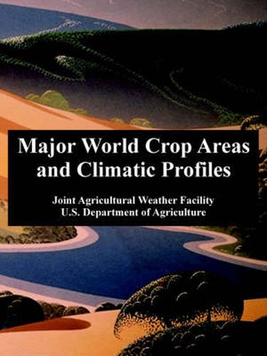
This reference provides a framework for assessing the weather’s impact on world crop production by providing benchmark climate and crop data for key producing regions and countries. For each area, maps define the zones of concentration for major crops, and, temperature and precipitation by month at representative locations. Tables report historical averages of crop area, yield, and production. Coverage includes major agricultural regions and crops of coarse grains, winter and spring wheat, rice, major oilseeds, sugar, and cotton. World maps show the normal developmental stage of regional crops by month.
$9.00 standard shipping within Australia
FREE standard shipping within Australia for orders over $100.00
Express & International shipping calculated at checkout
This title is printed to order. This book may have been self-published. If so, we cannot guarantee the quality of the content. In the main most books will have gone through the editing process however some may not. We therefore suggest that you be aware of this before ordering this book. If in doubt check either the author or publisher’s details as we are unable to accept any returns unless they are faulty. Please contact us if you have any questions.
This reference provides a framework for assessing the weather’s impact on world crop production by providing benchmark climate and crop data for key producing regions and countries. For each area, maps define the zones of concentration for major crops, and, temperature and precipitation by month at representative locations. Tables report historical averages of crop area, yield, and production. Coverage includes major agricultural regions and crops of coarse grains, winter and spring wheat, rice, major oilseeds, sugar, and cotton. World maps show the normal developmental stage of regional crops by month.
Search our extensive online catalogue.
