Readings Newsletter
Become a Readings Member to make your shopping experience even easier.
Sign in or sign up for free!
You’re not far away from qualifying for FREE standard shipping within Australia
You’ve qualified for FREE standard shipping within Australia
The cart is loading…


This title is printed to order. This book may have been self-published. If so, we cannot guarantee the quality of the content. In the main most books will have gone through the editing process however some may not. We therefore suggest that you be aware of this before ordering this book. If in doubt check either the author or publisher’s details as we are unable to accept any returns unless they are faulty. Please contact us if you have any questions.
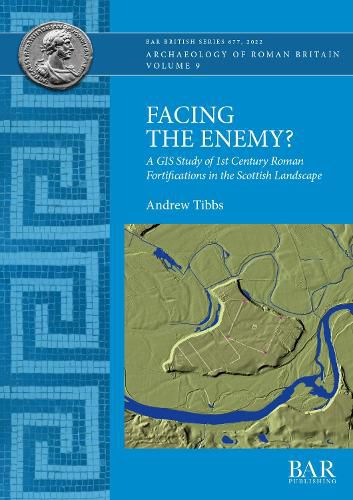
Facing the Enemy is a GIS-based examination of the relationship between Roman fortifications occupied during the Flavian period (AD 77-86/90), and their Scottish landscape setting. It undertakes spatial analysis of the positioning, orientation, intervisibility and interconnectivity of the early legionary fortresses, forts, fortlets, camps and towers. The study combines mapping data, remote sensing technologies, along with archaeological evidence in an extensive GIS database, and takes a systematic approach to analysing the landscapes surrounding the fortifications. The work demonstrates that Flavian fortifications were almost always located in positions which enabled the military to control movement through the landscape, with coastal sites frequently guarding access to river networks and fortifications further upstream. The study concludes that the military strategy in Flavian Scotland was not to block all movement through the landscape as such a strategy would have been impossible in such a varied setting, but rather to control the main corridors of movement, and by extension, exert control and authority over the indigenous population.
$9.00 standard shipping within Australia
FREE standard shipping within Australia for orders over $100.00
Express & International shipping calculated at checkout
This title is printed to order. This book may have been self-published. If so, we cannot guarantee the quality of the content. In the main most books will have gone through the editing process however some may not. We therefore suggest that you be aware of this before ordering this book. If in doubt check either the author or publisher’s details as we are unable to accept any returns unless they are faulty. Please contact us if you have any questions.
Facing the Enemy is a GIS-based examination of the relationship between Roman fortifications occupied during the Flavian period (AD 77-86/90), and their Scottish landscape setting. It undertakes spatial analysis of the positioning, orientation, intervisibility and interconnectivity of the early legionary fortresses, forts, fortlets, camps and towers. The study combines mapping data, remote sensing technologies, along with archaeological evidence in an extensive GIS database, and takes a systematic approach to analysing the landscapes surrounding the fortifications. The work demonstrates that Flavian fortifications were almost always located in positions which enabled the military to control movement through the landscape, with coastal sites frequently guarding access to river networks and fortifications further upstream. The study concludes that the military strategy in Flavian Scotland was not to block all movement through the landscape as such a strategy would have been impossible in such a varied setting, but rather to control the main corridors of movement, and by extension, exert control and authority over the indigenous population.
Search our extensive online catalogue.
