Readings Newsletter
Become a Readings Member to make your shopping experience even easier.
Sign in or sign up for free!
You’re not far away from qualifying for FREE standard shipping within Australia
You’ve qualified for FREE standard shipping within Australia
The cart is loading…


This title is printed to order. This book may have been self-published. If so, we cannot guarantee the quality of the content. In the main most books will have gone through the editing process however some may not. We therefore suggest that you be aware of this before ordering this book. If in doubt check either the author or publisher’s details as we are unable to accept any returns unless they are faulty. Please contact us if you have any questions.
Early peoples migrating to the Americas via the coastal migration route would have travelled through southeast Alaska during periods with lower sea levels. The residues of where they lived, hunted and gathered are on the now submerged continental shelf of southeast Alaska. A GIS model, two years of marine geophysical survey (including side scan sonar, sub-bottom profiling and multibeam sonar) and minimal subsurface testing have allowed the author to refine the methods for locating submerged archaeological sites buried on the continental shelf. The environment is reconstructed in 500-year intervals, and these intervals are used to create a predictive model for each time period using inductive and deductive methods. The final model combines the interval models for a final prediction of probable archaeological sites within the region.
$9.00 standard shipping within Australia
FREE standard shipping within Australia for orders over $100.00
Express & International shipping calculated at checkout
This title is printed to order. This book may have been self-published. If so, we cannot guarantee the quality of the content. In the main most books will have gone through the editing process however some may not. We therefore suggest that you be aware of this before ordering this book. If in doubt check either the author or publisher’s details as we are unable to accept any returns unless they are faulty. Please contact us if you have any questions.
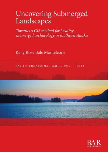
Early peoples migrating to the Americas via the coastal migration route would have travelled through southeast Alaska during periods with lower sea levels. The residues of where they lived, hunted and gathered are on the now submerged continental shelf of southeast Alaska. A GIS model, two years of marine geophysical survey (including side scan sonar, sub-bottom profiling and multibeam sonar) and minimal subsurface testing have allowed the author to refine the methods for locating submerged archaeological sites buried on the continental shelf. The environment is reconstructed in 500-year intervals, and these intervals are used to create a predictive model for each time period using inductive and deductive methods. The final model combines the interval models for a final prediction of probable archaeological sites within the region.