Readings Newsletter
Become a Readings Member to make your shopping experience even easier.
Sign in or sign up for free!
You’re not far away from qualifying for FREE standard shipping within Australia
You’ve qualified for FREE standard shipping within Australia
The cart is loading…


This title is printed to order. This book may have been self-published. If so, we cannot guarantee the quality of the content. In the main most books will have gone through the editing process however some may not. We therefore suggest that you be aware of this before ordering this book. If in doubt check either the author or publisher’s details as we are unable to accept any returns unless they are faulty. Please contact us if you have any questions.
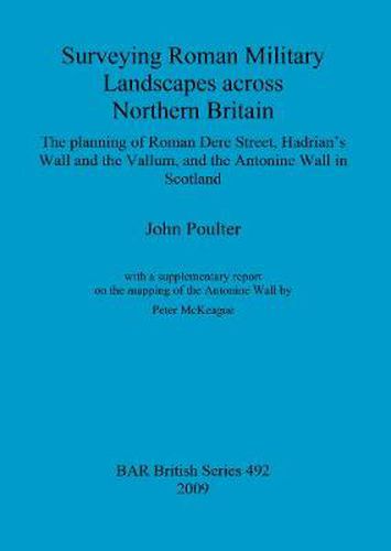
How did the Romans plan their great road to the north, Dere Street? In setting out to answer this question, and to produce a method for diagnosing the direction of Roman surveying and planning from the landscape and structural remains, John Poulter’s research eventually widened to ask the same question of Hadrian’s Wall, its vallum and the Antonine Wall too. His analysis determines the probable directions in which the three structures were surveyed, and in so doing provides fascinating insight into their possible function - Hadrian’s Wall, for example seem to have been set out with a view to maintaining a good view to the south, making signalling to the rear more of a priority in planning than observing to the north.
$9.00 standard shipping within Australia
FREE standard shipping within Australia for orders over $100.00
Express & International shipping calculated at checkout
This title is printed to order. This book may have been self-published. If so, we cannot guarantee the quality of the content. In the main most books will have gone through the editing process however some may not. We therefore suggest that you be aware of this before ordering this book. If in doubt check either the author or publisher’s details as we are unable to accept any returns unless they are faulty. Please contact us if you have any questions.
How did the Romans plan their great road to the north, Dere Street? In setting out to answer this question, and to produce a method for diagnosing the direction of Roman surveying and planning from the landscape and structural remains, John Poulter’s research eventually widened to ask the same question of Hadrian’s Wall, its vallum and the Antonine Wall too. His analysis determines the probable directions in which the three structures were surveyed, and in so doing provides fascinating insight into their possible function - Hadrian’s Wall, for example seem to have been set out with a view to maintaining a good view to the south, making signalling to the rear more of a priority in planning than observing to the north.