Readings Newsletter
Become a Readings Member to make your shopping experience even easier.
Sign in or sign up for free!
You’re not far away from qualifying for FREE standard shipping within Australia
You’ve qualified for FREE standard shipping within Australia
The cart is loading…


This title is printed to order. This book may have been self-published. If so, we cannot guarantee the quality of the content. In the main most books will have gone through the editing process however some may not. We therefore suggest that you be aware of this before ordering this book. If in doubt check either the author or publisher’s details as we are unable to accept any returns unless they are faulty. Please contact us if you have any questions.
“"How can I load input satellite imagery, compute an input raster into a given result and write that result as a new image to the hard disk”.
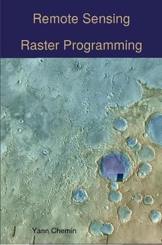
This book gives a range of programming options to answer this question, using high-level and low-level programming languages, some serial (C, Python, R) but also some in parallel (OpenMP, MPI-C, CUDA, OpenCL).
Additionally, it also demonstrates how to perform various levels of integrations into few programming languages and environments having GUI functionality (WxPython and GRASS GIS).
$9.00 standard shipping within Australia
FREE standard shipping within Australia for orders over $100.00
Express & International shipping calculated at checkout
This title is printed to order. This book may have been self-published. If so, we cannot guarantee the quality of the content. In the main most books will have gone through the editing process however some may not. We therefore suggest that you be aware of this before ordering this book. If in doubt check either the author or publisher’s details as we are unable to accept any returns unless they are faulty. Please contact us if you have any questions.
“"How can I load input satellite imagery, compute an input raster into a given result and write that result as a new image to the hard disk”.
This book gives a range of programming options to answer this question, using high-level and low-level programming languages, some serial (C, Python, R) but also some in parallel (OpenMP, MPI-C, CUDA, OpenCL).
Additionally, it also demonstrates how to perform various levels of integrations into few programming languages and environments having GUI functionality (WxPython and GRASS GIS).