Readings Newsletter
Become a Readings Member to make your shopping experience even easier.
Sign in or sign up for free!
You’re not far away from qualifying for FREE standard shipping within Australia
You’ve qualified for FREE standard shipping within Australia
The cart is loading…


This title is printed to order. This book may have been self-published. If so, we cannot guarantee the quality of the content. In the main most books will have gone through the editing process however some may not. We therefore suggest that you be aware of this before ordering this book. If in doubt check either the author or publisher’s details as we are unable to accept any returns unless they are faulty. Please contact us if you have any questions.
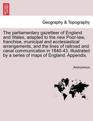
Title: The parliamentary gazetteer of England and Wales, adapted to the new Poor-law, franchise, municipal and ecclesiastical arrangements, and compiled with a special reference to the lines of railroad and canal communication, as existing in 1840-43. Illustrated by a series of maps forming a complete county-atlas of England, and by four large maps of Wales. With an appendix containing the results, in detail, of the census of 1841.Publisher: British Library, Historical Print EditionsThe British Library is the national library of the United Kingdom. It is one of the world’s largest research libraries holding over 150 million items in all known languages and formats: books, journals, newspapers, sound recordings, patents, maps, stamps, prints and much more. Its collections include around 14 million books, along with substantial additional collections of manuscripts and historical items dating back as far as 300 BC.The GEOGRAPHY & TOPOGRAPHY collection includes books from the British Library digitised by Microsoft. Offering some insights into the study and mapping of the natural world, this collection includes texts on Babylon, the geographies of China, and the medieval Islamic world. Also included are regional geographies and volumes on environmental determinism, topographical analyses of England, China, ancient Jerusalem, and significant tracts of North America. ++++The below data was compiled from various identification fields in the bibliographic record of this title. This data is provided as an additional tool in helping to insure edition identification: ++++ British Library Anonymous; 1840-43]. 4 vol.; 8 . 10347.g.7.
$9.00 standard shipping within Australia
FREE standard shipping within Australia for orders over $100.00
Express & International shipping calculated at checkout
This title is printed to order. This book may have been self-published. If so, we cannot guarantee the quality of the content. In the main most books will have gone through the editing process however some may not. We therefore suggest that you be aware of this before ordering this book. If in doubt check either the author or publisher’s details as we are unable to accept any returns unless they are faulty. Please contact us if you have any questions.
Title: The parliamentary gazetteer of England and Wales, adapted to the new Poor-law, franchise, municipal and ecclesiastical arrangements, and compiled with a special reference to the lines of railroad and canal communication, as existing in 1840-43. Illustrated by a series of maps forming a complete county-atlas of England, and by four large maps of Wales. With an appendix containing the results, in detail, of the census of 1841.Publisher: British Library, Historical Print EditionsThe British Library is the national library of the United Kingdom. It is one of the world’s largest research libraries holding over 150 million items in all known languages and formats: books, journals, newspapers, sound recordings, patents, maps, stamps, prints and much more. Its collections include around 14 million books, along with substantial additional collections of manuscripts and historical items dating back as far as 300 BC.The GEOGRAPHY & TOPOGRAPHY collection includes books from the British Library digitised by Microsoft. Offering some insights into the study and mapping of the natural world, this collection includes texts on Babylon, the geographies of China, and the medieval Islamic world. Also included are regional geographies and volumes on environmental determinism, topographical analyses of England, China, ancient Jerusalem, and significant tracts of North America. ++++The below data was compiled from various identification fields in the bibliographic record of this title. This data is provided as an additional tool in helping to insure edition identification: ++++ British Library Anonymous; 1840-43]. 4 vol.; 8 . 10347.g.7.
Search our extensive online catalogue.
