Readings Newsletter
Become a Readings Member to make your shopping experience even easier.
Sign in or sign up for free!
You’re not far away from qualifying for FREE standard shipping within Australia
You’ve qualified for FREE standard shipping within Australia
The cart is loading…


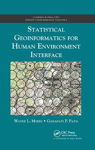
Statistical Geoinformatics for Human Environment Interface presents two paradigms for studying both space and interface with regard to human/environment: localization and multiple indicators.
The first approach localizes thematic targets by treating space as a pattern of vicinities, with the pattern being a square grid and the placement of vicinities centrically referenced. The second approach explores human/environment interface as an abstraction through indicators, neutralizing the common conundrum of how to reconcile disparate spatial structures such as points, lines, and polygons. These paired paradigms enable:
The capacity to cope with complexity
Systematic surveillance Visualization and communication
Preliminary prioritization Coupling of GIS and statistical software Avenues for automation
Illustrating the interdisciplinary nature of geoinformatics, this book offers a novel approach to the spatial analysis of human influences and environmental resources. It includes practical strategies for statistical and spatial analysis.
$9.00 standard shipping within Australia
FREE standard shipping within Australia for orders over $100.00
Express & International shipping calculated at checkout
Statistical Geoinformatics for Human Environment Interface presents two paradigms for studying both space and interface with regard to human/environment: localization and multiple indicators.
The first approach localizes thematic targets by treating space as a pattern of vicinities, with the pattern being a square grid and the placement of vicinities centrically referenced. The second approach explores human/environment interface as an abstraction through indicators, neutralizing the common conundrum of how to reconcile disparate spatial structures such as points, lines, and polygons. These paired paradigms enable:
The capacity to cope with complexity
Systematic surveillance Visualization and communication
Preliminary prioritization Coupling of GIS and statistical software Avenues for automation
Illustrating the interdisciplinary nature of geoinformatics, this book offers a novel approach to the spatial analysis of human influences and environmental resources. It includes practical strategies for statistical and spatial analysis.