Readings Newsletter
Become a Readings Member to make your shopping experience even easier.
Sign in or sign up for free!
You’re not far away from qualifying for FREE standard shipping within Australia
You’ve qualified for FREE standard shipping within Australia
The cart is loading…


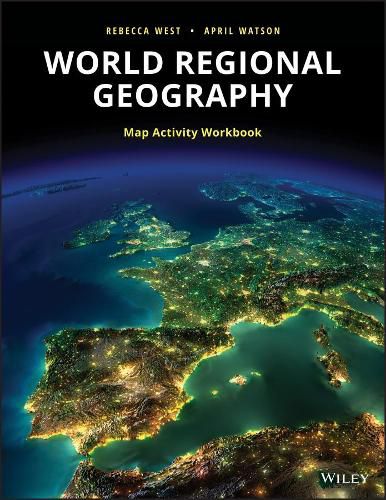
This workbook contains basemaps of the major realms, including: North America, Middle America, South America, Europe, Russia/Central Asia, North Africa/Southwest Asia, Subsaharan Africa, South Asia, East Asia, Southeast Asia, the Austral Realm, and the Pacific Realm.
The workbook contains activities intended for use with the blank basemaps, along with assessment questions for each realm.
The activities and questions will teach students to:
interpret maps/be able to explain what each map shows. identify the most critical parts of any map. understand the static nature of maps. understand the difference between spatial and non-spatial data. form a much better understanding of the scale involved when maps are used. improve spatial reasoning/thinking skills. make inferences and draw conclusions about countries and regions based on information presented within maps.
$9.00 standard shipping within Australia
FREE standard shipping within Australia for orders over $100.00
Express & International shipping calculated at checkout
This workbook contains basemaps of the major realms, including: North America, Middle America, South America, Europe, Russia/Central Asia, North Africa/Southwest Asia, Subsaharan Africa, South Asia, East Asia, Southeast Asia, the Austral Realm, and the Pacific Realm.
The workbook contains activities intended for use with the blank basemaps, along with assessment questions for each realm.
The activities and questions will teach students to:
interpret maps/be able to explain what each map shows. identify the most critical parts of any map. understand the static nature of maps. understand the difference between spatial and non-spatial data. form a much better understanding of the scale involved when maps are used. improve spatial reasoning/thinking skills. make inferences and draw conclusions about countries and regions based on information presented within maps.