Readings Newsletter
Become a Readings Member to make your shopping experience even easier.
Sign in or sign up for free!
You’re not far away from qualifying for FREE standard shipping within Australia
You’ve qualified for FREE standard shipping within Australia
The cart is loading…


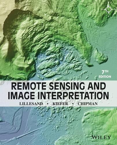
Remote Sensing and Image Interpretation, 7th Edition is designed to be primarily used in two ways: as a textbook in the introductory courses in remote sensing and image interpretation, and as a reference for the burgeoning number of practitioners who use geospatial information and analysis in their work. Because of the wide range of academic and professional settings in which this book might be used, we have made the discussion discipline neutral. In short, anyone involved in geospatial data acquisition and analysis should find this book to be a valuable text and reference.
$9.00 standard shipping within Australia
FREE standard shipping within Australia for orders over $100.00
Express & International shipping calculated at checkout
Remote Sensing and Image Interpretation, 7th Edition is designed to be primarily used in two ways: as a textbook in the introductory courses in remote sensing and image interpretation, and as a reference for the burgeoning number of practitioners who use geospatial information and analysis in their work. Because of the wide range of academic and professional settings in which this book might be used, we have made the discussion discipline neutral. In short, anyone involved in geospatial data acquisition and analysis should find this book to be a valuable text and reference.