Readings Newsletter
Become a Readings Member to make your shopping experience even easier.
Sign in or sign up for free!
You’re not far away from qualifying for FREE standard shipping within Australia
You’ve qualified for FREE standard shipping within Australia
The cart is loading…


This title is printed to order. This book may have been self-published. If so, we cannot guarantee the quality of the content. In the main most books will have gone through the editing process however some may not. We therefore suggest that you be aware of this before ordering this book. If in doubt check either the author or publisher’s details as we are unable to accept any returns unless they are faulty. Please contact us if you have any questions.
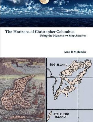
The horizons were of fundamental importance to Columbus. The western horizon was the focus of his lifelong quest for undiscovered territory. He used the stars grazing his northern horizon as his guides for sailing constant latitudes, and the lunar-planetary conjunctions (LPCs) at his eastern and western horizons to measure his longitudes. Most 15th Century oceanic sailors knew how to sail constant latitudes guided by the stars, but few, other than Columbus, knew how to use the heavens to measure longitude. His innovative navigation method measured longitudes by comparing measurements of LPCs at his eastern and western horizons using celestial data tabulated in his Ephemerides. Major findings include: Columbus used celestial events, he served on a 1477 voyage to Nova Scotia, comprehensive evidence reveals his 1492 landfall was at Egg Island, Amerigo Vespucci beat Ponce de Leon to Florida by a dozen years, and Columbus may have facilitated a deliberate sinking of the Santa Maria.
$9.00 standard shipping within Australia
FREE standard shipping within Australia for orders over $100.00
Express & International shipping calculated at checkout
This title is printed to order. This book may have been self-published. If so, we cannot guarantee the quality of the content. In the main most books will have gone through the editing process however some may not. We therefore suggest that you be aware of this before ordering this book. If in doubt check either the author or publisher’s details as we are unable to accept any returns unless they are faulty. Please contact us if you have any questions.
The horizons were of fundamental importance to Columbus. The western horizon was the focus of his lifelong quest for undiscovered territory. He used the stars grazing his northern horizon as his guides for sailing constant latitudes, and the lunar-planetary conjunctions (LPCs) at his eastern and western horizons to measure his longitudes. Most 15th Century oceanic sailors knew how to sail constant latitudes guided by the stars, but few, other than Columbus, knew how to use the heavens to measure longitude. His innovative navigation method measured longitudes by comparing measurements of LPCs at his eastern and western horizons using celestial data tabulated in his Ephemerides. Major findings include: Columbus used celestial events, he served on a 1477 voyage to Nova Scotia, comprehensive evidence reveals his 1492 landfall was at Egg Island, Amerigo Vespucci beat Ponce de Leon to Florida by a dozen years, and Columbus may have facilitated a deliberate sinking of the Santa Maria.
Search our extensive online catalogue.
