Readings Newsletter
Become a Readings Member to make your shopping experience even easier.
Sign in or sign up for free!
You’re not far away from qualifying for FREE standard shipping within Australia
You’ve qualified for FREE standard shipping within Australia
The cart is loading…


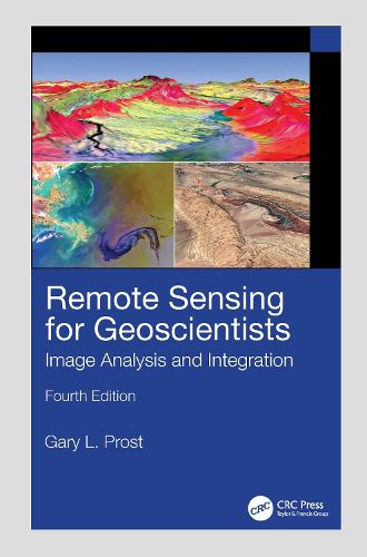
The fourth edition of the bestselling Remote Sensing for Geoscientists: Image Analysis and Integration expands the scope of remote sensing to cover image systems that did not exist 10 years ago when the third edition was published. It is thoroughly updated to meet the needs of readers today and provides examples of new capabilities using Google Earth (c) and various apps. It describes the latest remote sensing systems and sensors, provides examples of imagery, and explains how to analyze and integrate remote sensing images in projects that require superior results. Lavishly illustrated, it serves as a how-to guide for those using remote sensing in Earth Sciences for mapping and monitoring.
New in the Fourth Edition:
Thoroughly revised to address remote sensing technological advances achieved in recent years. Includes new examples of using remote sensing for successful projects in water, oil, gas, and mineral exploration and exploitation, forensic remote sensing, and environmental monitoring. Reviews the latest instrumentation, processing, and integrated analysis of imagery. Includes two new chapters, including one on clandestine geologic remote sensing and a new chapter on free Google Earth software to remotely sense anywhere on Earth and process imagery to highlight geologic features. Maintains a clear style and simple language understandable by the average person.
This is a terrific, all-encompassing text for professionals in industry and governmental agencies, academics, and students who are part of the Remote Sensing and Geospatial community and working in the fields of Geology, Geosciences, Energy and Mining industry, Groundwater, Environmental Engineering, and for those who are involved in monitoring natural resources.
$9.00 standard shipping within Australia
FREE standard shipping within Australia for orders over $100.00
Express & International shipping calculated at checkout
The fourth edition of the bestselling Remote Sensing for Geoscientists: Image Analysis and Integration expands the scope of remote sensing to cover image systems that did not exist 10 years ago when the third edition was published. It is thoroughly updated to meet the needs of readers today and provides examples of new capabilities using Google Earth (c) and various apps. It describes the latest remote sensing systems and sensors, provides examples of imagery, and explains how to analyze and integrate remote sensing images in projects that require superior results. Lavishly illustrated, it serves as a how-to guide for those using remote sensing in Earth Sciences for mapping and monitoring.
New in the Fourth Edition:
Thoroughly revised to address remote sensing technological advances achieved in recent years. Includes new examples of using remote sensing for successful projects in water, oil, gas, and mineral exploration and exploitation, forensic remote sensing, and environmental monitoring. Reviews the latest instrumentation, processing, and integrated analysis of imagery. Includes two new chapters, including one on clandestine geologic remote sensing and a new chapter on free Google Earth software to remotely sense anywhere on Earth and process imagery to highlight geologic features. Maintains a clear style and simple language understandable by the average person.
This is a terrific, all-encompassing text for professionals in industry and governmental agencies, academics, and students who are part of the Remote Sensing and Geospatial community and working in the fields of Geology, Geosciences, Energy and Mining industry, Groundwater, Environmental Engineering, and for those who are involved in monitoring natural resources.