Readings Newsletter
Become a Readings Member to make your shopping experience even easier.
Sign in or sign up for free!
You’re not far away from qualifying for FREE standard shipping within Australia
You’ve qualified for FREE standard shipping within Australia
The cart is loading…


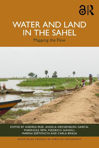
Drawing on over thirty years of research, this book investigates the intermingling of land and water in the Sahel, analysing landscapes defined by the ebb and flow of rainfall, flooding and population movements, as well as environmental, political and social crises.
Exploring both the seasonal flooding of rivers around the Nile, Chari-Logone, Niger and Senegal, as well as agricultural irrigation projects such as dams, canals and pumping stations, the book examines the different narratives related to water and land in the Sahel. It combines fieldwork research with remote sensing, big data and GIS mapping to outline the everchanging interplay between land and water in the region. Beyond this, the book also reinterprets the colonial and post-colonial legacies of large-scale irrigation projects and the geopolitical interests which defined them.
Supported by an Open Access website with a WebGIS and further maps and analysis, this book is an essential read for policy makers and development practitioners in the region, as well as for researchers and scholars across the fields of geography, history, political science, sustainable development and African studies.
$9.00 standard shipping within Australia
FREE standard shipping within Australia for orders over $100.00
Express & International shipping calculated at checkout
Drawing on over thirty years of research, this book investigates the intermingling of land and water in the Sahel, analysing landscapes defined by the ebb and flow of rainfall, flooding and population movements, as well as environmental, political and social crises.
Exploring both the seasonal flooding of rivers around the Nile, Chari-Logone, Niger and Senegal, as well as agricultural irrigation projects such as dams, canals and pumping stations, the book examines the different narratives related to water and land in the Sahel. It combines fieldwork research with remote sensing, big data and GIS mapping to outline the everchanging interplay between land and water in the region. Beyond this, the book also reinterprets the colonial and post-colonial legacies of large-scale irrigation projects and the geopolitical interests which defined them.
Supported by an Open Access website with a WebGIS and further maps and analysis, this book is an essential read for policy makers and development practitioners in the region, as well as for researchers and scholars across the fields of geography, history, political science, sustainable development and African studies.