Readings Newsletter
Become a Readings Member to make your shopping experience even easier.
Sign in or sign up for free!
You’re not far away from qualifying for FREE standard shipping within Australia
You’ve qualified for FREE standard shipping within Australia
The cart is loading…


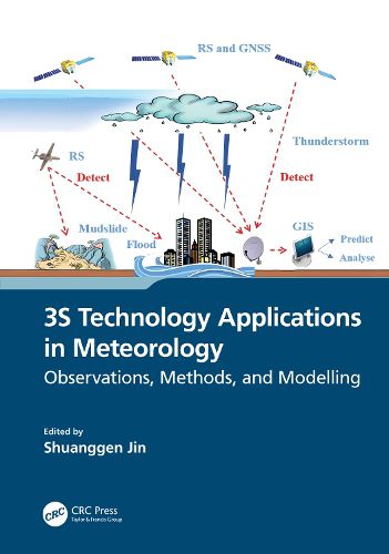
Spatial information technology and its integration, such as remote sensing, geographic information systems (GIS), and global navigation satellite systems (GNSS), known as 3S technology, have been extensively utilized in managing and monitoring natural disasters. This book illustrates the 3S integrated applications in the field of meteorology and promotes the role of 3S in developing precise and intelligent meteorology. It presents the principles of 3S technology and the methods for monitoring different meteorological disasters and hazards as well as their application progress. The case studies from the United States, Japan, China, and Europe were conducted to help all countries understand the 3S technology functions in handling and monitoring severe meteorological hazards.
FEATURES
Presents integral observations from GNSS, GIS, and remote sensing in estimating and understanding meteorological changes Explains how to monitor and retrieve atmospheric parameter changes using GNSS and remote sensing Shows three-dimensional modelling and evaluations of meteorological variation processing based on GIS Helps meteorologists develop and use space-air-ground integrated observations for meteorological applications Illustrates the practices in monitoring meteorological hazards using space information techniques and case studies
This book is intended for academics, researchers, and postgraduate students who specialize in geomatics, atmospheric science, and meteorology, as well as scientists who work in remote sensing and meteorology, and professionals who deal with meteorological hazards.
$9.00 standard shipping within Australia
FREE standard shipping within Australia for orders over $100.00
Express & International shipping calculated at checkout
Spatial information technology and its integration, such as remote sensing, geographic information systems (GIS), and global navigation satellite systems (GNSS), known as 3S technology, have been extensively utilized in managing and monitoring natural disasters. This book illustrates the 3S integrated applications in the field of meteorology and promotes the role of 3S in developing precise and intelligent meteorology. It presents the principles of 3S technology and the methods for monitoring different meteorological disasters and hazards as well as their application progress. The case studies from the United States, Japan, China, and Europe were conducted to help all countries understand the 3S technology functions in handling and monitoring severe meteorological hazards.
FEATURES
Presents integral observations from GNSS, GIS, and remote sensing in estimating and understanding meteorological changes Explains how to monitor and retrieve atmospheric parameter changes using GNSS and remote sensing Shows three-dimensional modelling and evaluations of meteorological variation processing based on GIS Helps meteorologists develop and use space-air-ground integrated observations for meteorological applications Illustrates the practices in monitoring meteorological hazards using space information techniques and case studies
This book is intended for academics, researchers, and postgraduate students who specialize in geomatics, atmospheric science, and meteorology, as well as scientists who work in remote sensing and meteorology, and professionals who deal with meteorological hazards.
Search our extensive online catalogue.
