Readings Newsletter
Become a Readings Member to make your shopping experience even easier.
Sign in or sign up for free!
You’re not far away from qualifying for FREE standard shipping within Australia
You’ve qualified for FREE standard shipping within Australia
The cart is loading…


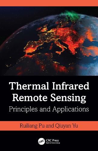
This book systematically and comprehensively introduces concepts, theories, principles, and applications of Thermal Infrared (TIR) imaging spectral techniques and TIR remote sensing. It introduces in detail algorithms, techniques, and methods for processing and analyzing TIR data, including radiometric calibration and atmospheric correction in TIR region, retrieving land surface emissivity and temperature (LST) from various TIR data, and downscaling LST and TIR radiance spatiotemporally. Focusing on TIR-RS application orientation, this book introduces state-of-the-art techniques and methods applied in areas such as hydrology, biomass burning, urban thermal environment, and other areas of interest.
Features
Presents a complete coverage of thermal infrared remote sensing, from concepts to applications. Provides a thorough survey of characteristics and types of airborne and spaceborne TIR sensors, systems, and missions. Discusses principles and methods of radiometric calibration and atmospheric correction for correcting TIR data. Includes case studies that demonstrate the applicability and potential of a variety of techniques and methods to process TIR data. Offers a comprehensive review of TIR remote sensing applications.
This book is a great resource for professionals in the academic and corporate world and an insightful reference for graduate and senior undergraduate students studying geology, geography, geophysics, and environments, as well as natural resources and survey management.
$9.00 standard shipping within Australia
FREE standard shipping within Australia for orders over $100.00
Express & International shipping calculated at checkout
This book systematically and comprehensively introduces concepts, theories, principles, and applications of Thermal Infrared (TIR) imaging spectral techniques and TIR remote sensing. It introduces in detail algorithms, techniques, and methods for processing and analyzing TIR data, including radiometric calibration and atmospheric correction in TIR region, retrieving land surface emissivity and temperature (LST) from various TIR data, and downscaling LST and TIR radiance spatiotemporally. Focusing on TIR-RS application orientation, this book introduces state-of-the-art techniques and methods applied in areas such as hydrology, biomass burning, urban thermal environment, and other areas of interest.
Features
Presents a complete coverage of thermal infrared remote sensing, from concepts to applications. Provides a thorough survey of characteristics and types of airborne and spaceborne TIR sensors, systems, and missions. Discusses principles and methods of radiometric calibration and atmospheric correction for correcting TIR data. Includes case studies that demonstrate the applicability and potential of a variety of techniques and methods to process TIR data. Offers a comprehensive review of TIR remote sensing applications.
This book is a great resource for professionals in the academic and corporate world and an insightful reference for graduate and senior undergraduate students studying geology, geography, geophysics, and environments, as well as natural resources and survey management.