Readings Newsletter
Become a Readings Member to make your shopping experience even easier.
Sign in or sign up for free!
You’re not far away from qualifying for FREE standard shipping within Australia
You’ve qualified for FREE standard shipping within Australia
The cart is loading…


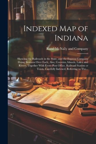
Rand McNally's indexed map of Indiana is a comprehensive and detailed guide to the state's geography and transportation infrastructure. Featuring detailed information on railroads, express companies, post offices, and towns, this map is an essential resource for travelers and businesspeople alike. It also includes detailed geographical features such as islands, lakes, and rivers, making it a valuable tool for anyone interested in the state's natural beauty.
This work has been selected by scholars as being culturally important, and is part of the knowledge base of civilization as we know it.
This work is in the "public domain in the United States of America, and possibly other nations. Within the United States, you may freely copy and distribute this work, as no entity (individual or corporate) has a copyright on the body of the work.
Scholars believe, and we concur, that this work is important enough to be preserved, reproduced, and made generally available to the public. We appreciate your support of the preservation process, and thank you for being an important part of keeping this knowledge alive and relevant.
$9.00 standard shipping within Australia
FREE standard shipping within Australia for orders over $100.00
Express & International shipping calculated at checkout
Rand McNally's indexed map of Indiana is a comprehensive and detailed guide to the state's geography and transportation infrastructure. Featuring detailed information on railroads, express companies, post offices, and towns, this map is an essential resource for travelers and businesspeople alike. It also includes detailed geographical features such as islands, lakes, and rivers, making it a valuable tool for anyone interested in the state's natural beauty.
This work has been selected by scholars as being culturally important, and is part of the knowledge base of civilization as we know it.
This work is in the "public domain in the United States of America, and possibly other nations. Within the United States, you may freely copy and distribute this work, as no entity (individual or corporate) has a copyright on the body of the work.
Scholars believe, and we concur, that this work is important enough to be preserved, reproduced, and made generally available to the public. We appreciate your support of the preservation process, and thank you for being an important part of keeping this knowledge alive and relevant.
Search our extensive online catalogue.
