Readings Newsletter
Become a Readings Member to make your shopping experience even easier.
Sign in or sign up for free!
You’re not far away from qualifying for FREE standard shipping within Australia
You’ve qualified for FREE standard shipping within Australia
The cart is loading…


This title is printed to order. This book may have been self-published. If so, we cannot guarantee the quality of the content. In the main most books will have gone through the editing process however some may not. We therefore suggest that you be aware of this before ordering this book. If in doubt check either the author or publisher’s details as we are unable to accept any returns unless they are faulty. Please contact us if you have any questions.
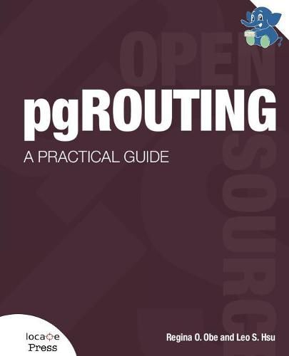
What is pgRouting? It’s a PostgreSQL extension for developing network routing applications and doing graph analysis.
Interested in pgRouting? If so, chances are you already use PostGIS, the spatial extender for the PostgreSQL database management system. So when you’ve got PostGIS, why do you need pgRouting? PostGIS is a great tool for molding geometries and doing proximity analysis, however, it falls short when your proximity analysis involves constrained paths such as driving along a road or biking along defined paths.
PostGIS alone can’t help you apply costs and resource constraints to your travels, such as traffic congestion, mileage restrictions, or allocating resources like vehicles. pgRouting is a complement to PostGIS that allows you to incorporate costs and path restrictions to your proximity analysis.
pgRouting is well suited to building travel navigation systems and computing driving distance polygons for places of interest. While the main focus of pgRouting is GIS applications, it can be used for non-GIS resource management and routing applications.
This book will give you all the tools and information you need to get started with pgRouting, as well as complete code examples and even how to deploy your project to the web.
$9.00 standard shipping within Australia
FREE standard shipping within Australia for orders over $100.00
Express & International shipping calculated at checkout
This title is printed to order. This book may have been self-published. If so, we cannot guarantee the quality of the content. In the main most books will have gone through the editing process however some may not. We therefore suggest that you be aware of this before ordering this book. If in doubt check either the author or publisher’s details as we are unable to accept any returns unless they are faulty. Please contact us if you have any questions.
What is pgRouting? It’s a PostgreSQL extension for developing network routing applications and doing graph analysis.
Interested in pgRouting? If so, chances are you already use PostGIS, the spatial extender for the PostgreSQL database management system. So when you’ve got PostGIS, why do you need pgRouting? PostGIS is a great tool for molding geometries and doing proximity analysis, however, it falls short when your proximity analysis involves constrained paths such as driving along a road or biking along defined paths.
PostGIS alone can’t help you apply costs and resource constraints to your travels, such as traffic congestion, mileage restrictions, or allocating resources like vehicles. pgRouting is a complement to PostGIS that allows you to incorporate costs and path restrictions to your proximity analysis.
pgRouting is well suited to building travel navigation systems and computing driving distance polygons for places of interest. While the main focus of pgRouting is GIS applications, it can be used for non-GIS resource management and routing applications.
This book will give you all the tools and information you need to get started with pgRouting, as well as complete code examples and even how to deploy your project to the web.