Readings Newsletter
Become a Readings Member to make your shopping experience even easier.
Sign in or sign up for free!
You’re not far away from qualifying for FREE standard shipping within Australia
You’ve qualified for FREE standard shipping within Australia
The cart is loading…


This title is printed to order. This book may have been self-published. If so, we cannot guarantee the quality of the content. In the main most books will have gone through the editing process however some may not. We therefore suggest that you be aware of this before ordering this book. If in doubt check either the author or publisher’s details as we are unable to accept any returns unless they are faulty. Please contact us if you have any questions.
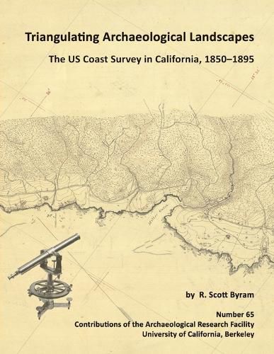
Archaeologist Scott Byram presents results from in-depth study of the manuscript records of the U.S. Coast Survey at the National Archives in Maryland. The volume includes photos and scans of numerous hand drawn topographic maps, sketches, and notebook pages depicting dozens of California archaeological sites, from shipwrecks to shell mounds. Methods are presented for using this archival collection in numerous West Coast settings. This research led to the recent rediscovery of the Lone Woman's Cave on San Nicolas Island, relocation and excavation of the 1852 military shipwreck survivor site known as Camp Castaway, and the definitive mapping of Lewis and Clark's Fort Clatsop. Over 50 archaeological and historical sites in California are illuminated using the nineteenth century maps and field notes, most of which have not previously been available to researchers.
$9.00 standard shipping within Australia
FREE standard shipping within Australia for orders over $100.00
Express & International shipping calculated at checkout
This title is printed to order. This book may have been self-published. If so, we cannot guarantee the quality of the content. In the main most books will have gone through the editing process however some may not. We therefore suggest that you be aware of this before ordering this book. If in doubt check either the author or publisher’s details as we are unable to accept any returns unless they are faulty. Please contact us if you have any questions.
Archaeologist Scott Byram presents results from in-depth study of the manuscript records of the U.S. Coast Survey at the National Archives in Maryland. The volume includes photos and scans of numerous hand drawn topographic maps, sketches, and notebook pages depicting dozens of California archaeological sites, from shipwrecks to shell mounds. Methods are presented for using this archival collection in numerous West Coast settings. This research led to the recent rediscovery of the Lone Woman's Cave on San Nicolas Island, relocation and excavation of the 1852 military shipwreck survivor site known as Camp Castaway, and the definitive mapping of Lewis and Clark's Fort Clatsop. Over 50 archaeological and historical sites in California are illuminated using the nineteenth century maps and field notes, most of which have not previously been available to researchers.
Search our extensive online catalogue.
