Readings Newsletter
Become a Readings Member to make your shopping experience even easier.
Sign in or sign up for free!
You’re not far away from qualifying for FREE standard shipping within Australia
You’ve qualified for FREE standard shipping within Australia
The cart is loading…


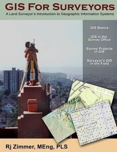
The GIS for Surveyors book explains how surveyors use Geographic Information Systems (GIS) technologies to support land surveying activities and how GIS helps surveyors work more effectively and efficiently. Additionally, the book covers how surveyors support GIS data development, integrity, and spatial accuracy. GIS concepts, overviews, and specific examples are presented on a variety of topics related to Geographic Information Systems relevant to land surveying. The book also addresses important issues and helpful applications. Major topics covered are GIS fundamentals, data sources, using GIS in the survey office, using GIS in the field, surveying for GIS, and spatial accuracy considerations.
$9.00 standard shipping within Australia
FREE standard shipping within Australia for orders over $100.00
Express & International shipping calculated at checkout
The GIS for Surveyors book explains how surveyors use Geographic Information Systems (GIS) technologies to support land surveying activities and how GIS helps surveyors work more effectively and efficiently. Additionally, the book covers how surveyors support GIS data development, integrity, and spatial accuracy. GIS concepts, overviews, and specific examples are presented on a variety of topics related to Geographic Information Systems relevant to land surveying. The book also addresses important issues and helpful applications. Major topics covered are GIS fundamentals, data sources, using GIS in the survey office, using GIS in the field, surveying for GIS, and spatial accuracy considerations.
Search our extensive online catalogue.
