Readings Newsletter
Become a Readings Member to make your shopping experience even easier.
Sign in or sign up for free!
You’re not far away from qualifying for FREE standard shipping within Australia
You’ve qualified for FREE standard shipping within Australia
The cart is loading…


This title is printed to order. This book may have been self-published. If so, we cannot guarantee the quality of the content. In the main most books will have gone through the editing process however some may not. We therefore suggest that you be aware of this before ordering this book. If in doubt check either the author or publisher’s details as we are unable to accept any returns unless they are faulty. Please contact us if you have any questions.
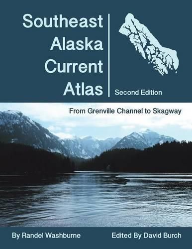
The charts in this atlas show scaled arrows marking current speeds and directions at each of the official stations at sequential hours. Use slack times and maximum current speeds at Wrangell Narrows from the NOAA Tidal Current Tables to select the appropriate chart for specific dates and times.
An ideal resource for planning routes throughout Southeast Alaskan waters using sequential charts to predict how the current flow over large regions changes with time.
For use underway or when planning passages in the future.
$9.00 standard shipping within Australia
FREE standard shipping within Australia for orders over $100.00
Express & International shipping calculated at checkout
This title is printed to order. This book may have been self-published. If so, we cannot guarantee the quality of the content. In the main most books will have gone through the editing process however some may not. We therefore suggest that you be aware of this before ordering this book. If in doubt check either the author or publisher’s details as we are unable to accept any returns unless they are faulty. Please contact us if you have any questions.
The charts in this atlas show scaled arrows marking current speeds and directions at each of the official stations at sequential hours. Use slack times and maximum current speeds at Wrangell Narrows from the NOAA Tidal Current Tables to select the appropriate chart for specific dates and times.
An ideal resource for planning routes throughout Southeast Alaskan waters using sequential charts to predict how the current flow over large regions changes with time.
For use underway or when planning passages in the future.
Search our extensive online catalogue.
