Readings Newsletter
Become a Readings Member to make your shopping experience even easier.
Sign in or sign up for free!
You’re not far away from qualifying for FREE standard shipping within Australia
You’ve qualified for FREE standard shipping within Australia
The cart is loading…


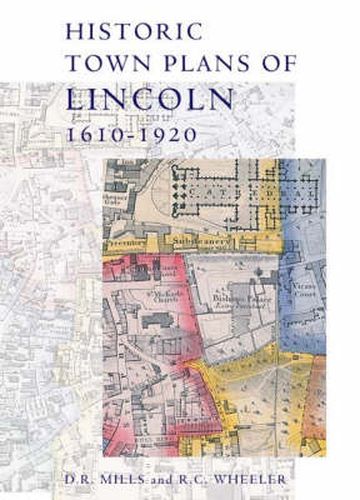
This book collects together early maps of Lincoln, and demonstrates their importance in describing the changing geography of this historic city, and also the development of cartography and its increasing application of scientifictechniques for improved accuracy and precision. Speed published the earliest surviving map of the area in 1610; his work was followed in 1722 by that of William Stukeley, whose map concentrates on historical features. The nineteenth century saw Lincoln mapped a number of times, by William Marrat (1814-17) and shortly afterwards by James Sandby Padley and the Ordnance Survey. It was the electoral reforms of the 1830s that drove the next map-makers to defineward and parish boundaries, the details of which required a larger scale than previous works. Then in 1842 Padley published his remarkable Large Map of Lincoln. The collection ends with the OS map of 1920, a detailed record of the city scaled at six inches to the mile, where modern Lincoln is clearly visible.
$9.00 standard shipping within Australia
FREE standard shipping within Australia for orders over $100.00
Express & International shipping calculated at checkout
This book collects together early maps of Lincoln, and demonstrates their importance in describing the changing geography of this historic city, and also the development of cartography and its increasing application of scientifictechniques for improved accuracy and precision. Speed published the earliest surviving map of the area in 1610; his work was followed in 1722 by that of William Stukeley, whose map concentrates on historical features. The nineteenth century saw Lincoln mapped a number of times, by William Marrat (1814-17) and shortly afterwards by James Sandby Padley and the Ordnance Survey. It was the electoral reforms of the 1830s that drove the next map-makers to defineward and parish boundaries, the details of which required a larger scale than previous works. Then in 1842 Padley published his remarkable Large Map of Lincoln. The collection ends with the OS map of 1920, a detailed record of the city scaled at six inches to the mile, where modern Lincoln is clearly visible.
Search our extensive online catalogue.
