Readings Newsletter
Become a Readings Member to make your shopping experience even easier.
Sign in or sign up for free!
You’re not far away from qualifying for FREE standard shipping within Australia
You’ve qualified for FREE standard shipping within Australia
The cart is loading…


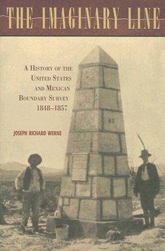
The line dividing the United States and Mexico is invisible,
imaginary , drawn through shifting sands and changeable rivers. The economic, social, and political issues surrounding this line, however, are all too real, and the line snakes its way through a history of conflict, through questions of definition, maps and claims of ownership, and personal and political gerrymandering. In
The Imaginary Line: A History of the United States and Mexican Boundary Survey, 1848-1857 , Joseph Richard Werne sets out to explore this border and the men who drew it. Using a variety of sources, including manuscripts, government documents, contemporary accounts, and memoirs, he creates a map of his own, one that charts the intersection of individual lives, politics, and geography. Werne proposes to revise the common view of the U.S.-Mexican Boundary Survey Commission as directed and funded almost entirely by the United States; the recent release of documents and archived files from the Mexican Boundary Commission allows further study of the Mexican commission’s role and demands recognition of the equal Mexican contribution to the commission’s immense task. The diverse group of military and civilian surveyors, engineers, and politicians that composed the Joint Commission had to reconcile disparate personal interests and backgrounds, as well as different maps and equipment. Their efforts were of
epic quality
and represent the coinciding cooperation and conflict that comprises border relations today. Werne’s study describes their lives and work, their survival of the hostile environment, and their struggles with inadequate funding and government corruption, tying their stories into the approaching civil war in the United States, the rapidly lengthening transcontinental railroad, and political instability in Mexico.
$9.00 standard shipping within Australia
FREE standard shipping within Australia for orders over $100.00
Express & International shipping calculated at checkout
The line dividing the United States and Mexico is invisible,
imaginary , drawn through shifting sands and changeable rivers. The economic, social, and political issues surrounding this line, however, are all too real, and the line snakes its way through a history of conflict, through questions of definition, maps and claims of ownership, and personal and political gerrymandering. In
The Imaginary Line: A History of the United States and Mexican Boundary Survey, 1848-1857 , Joseph Richard Werne sets out to explore this border and the men who drew it. Using a variety of sources, including manuscripts, government documents, contemporary accounts, and memoirs, he creates a map of his own, one that charts the intersection of individual lives, politics, and geography. Werne proposes to revise the common view of the U.S.-Mexican Boundary Survey Commission as directed and funded almost entirely by the United States; the recent release of documents and archived files from the Mexican Boundary Commission allows further study of the Mexican commission’s role and demands recognition of the equal Mexican contribution to the commission’s immense task. The diverse group of military and civilian surveyors, engineers, and politicians that composed the Joint Commission had to reconcile disparate personal interests and backgrounds, as well as different maps and equipment. Their efforts were of
epic quality
and represent the coinciding cooperation and conflict that comprises border relations today. Werne’s study describes their lives and work, their survival of the hostile environment, and their struggles with inadequate funding and government corruption, tying their stories into the approaching civil war in the United States, the rapidly lengthening transcontinental railroad, and political instability in Mexico.
Search our extensive online catalogue.
